Beating the Blaze: Enterprise Drone Architecture for Proactive Wildfire Prevention
2026-08-08
Origin:GDU-Tech
1. Strategic Shift: "Prevention First" vs. The Suppression Trap
Global temperatures continue to shatter records. Summer 2026 has brought unprecedented heatwaves across multiple continents, with prolonged drought conditions turning vast forests into tinderboxes. From Southern Europe to North America and parts of Asia, rising temperatures have expanded wildfire seasons by weeks and intensified the speed at which surface fires escalate into catastrophic crown fires. Climate change is no longer a future risk — it is the present operational reality for every emergency management agency.
Despite deploying fleet-scale air tankers and military assets, traditional post-ignition emergency responses quickly reach operational limits once crown fires develop. The cost of suppression has skyrocketed, and lives, property, and ecosystems are increasingly at stake.
Conversely, modern forestry management proves that a continuous, law-backed “Prevention First, Tech-Enabled” framework yields superior outcomes. By combining strict ignition controls with space-air-ground integrated monitoring networks, proactive systems reduce annual wildfire occurrences by over 80%.
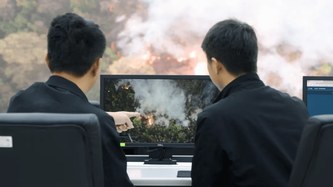
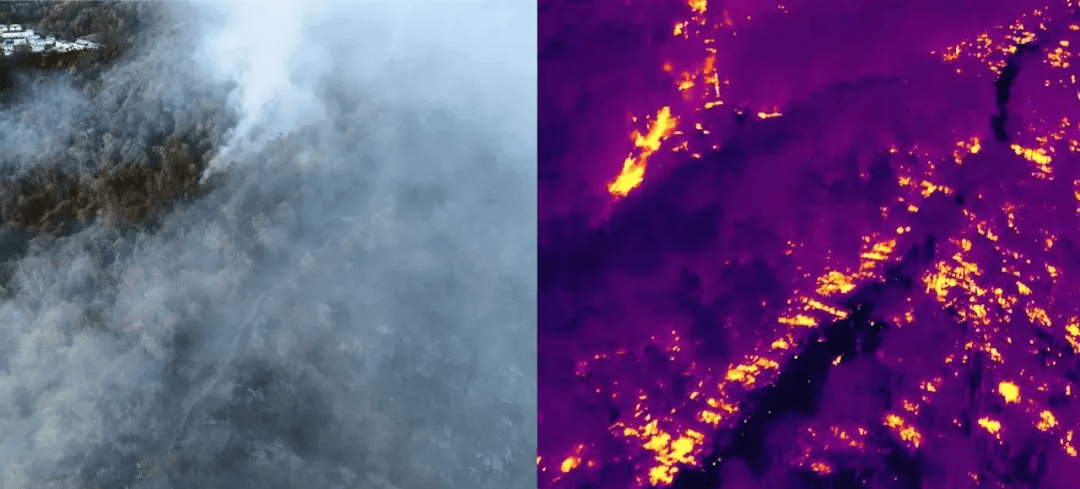
The Operational Reality: Detecting ground-level smoldering early turns potential mega-fires into manageable surface incidents, allowing crews to extinguish threats in a shorter period before canopy escalation occurs.
2. Space-Air-Ground Integration: How Aerial Drone Networks Work
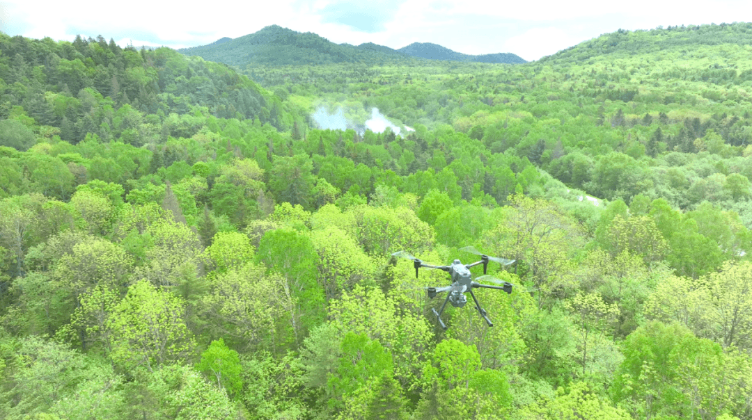
Traditional forestry monitoring relies heavily on satellites or static watchtowers. Satellites are frequently obscured by dense cloud cover and orbital latency, while visual towers leave extensive blind spots in mountainous terrains. Enterprise UAVs bridge this critical gap by delivering real-time, low-altitude thermal surveillance on continuous automated loops.
An effective enterprise drone fire prevention workflow integrates:
Radiometric Infrared Thermal (IR) Scanning: High-sensitivity thermal sensors scan the forest floor beneath canopy gaps to track abnormal ground temperature spikes.
Edge-AI Anomaly Identification: Onboard processing filters out non-fire thermal variances and triggers automated alerts when heat thresholds are breached.
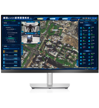
Centimeter-Level Target Pinpointing: With Integrated Laser Rangefinders, Real-Time Kinematic (RTK) positioning modules and more devices, operators can calculate exact GPS coordinates to dispatch ground crews directly to the ignition source.
3. Payload Engineering Standards for Forest Fire Patrols
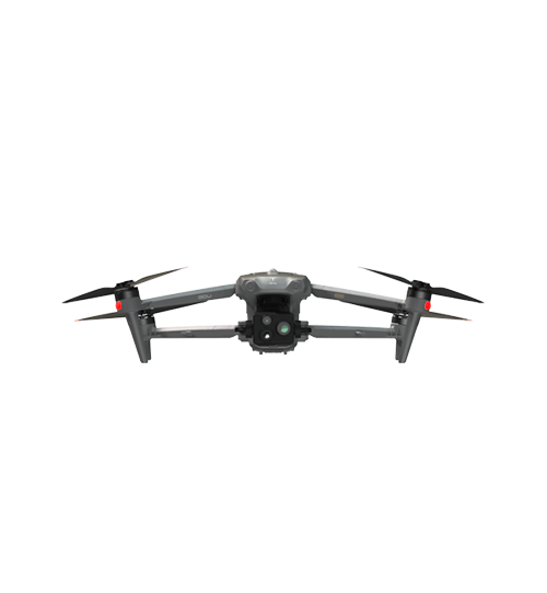
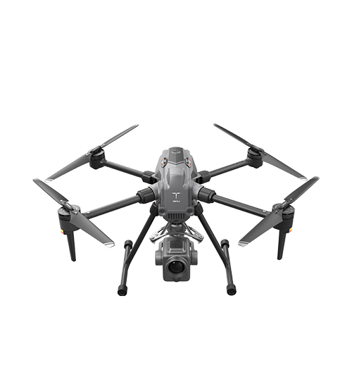
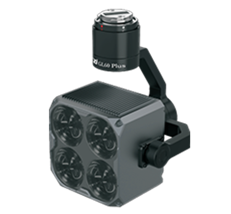
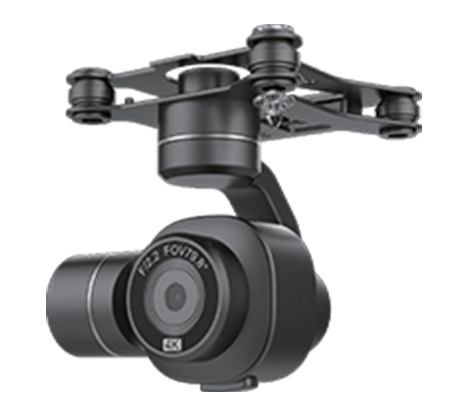
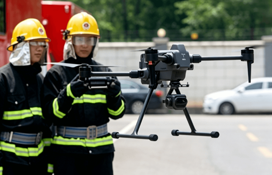
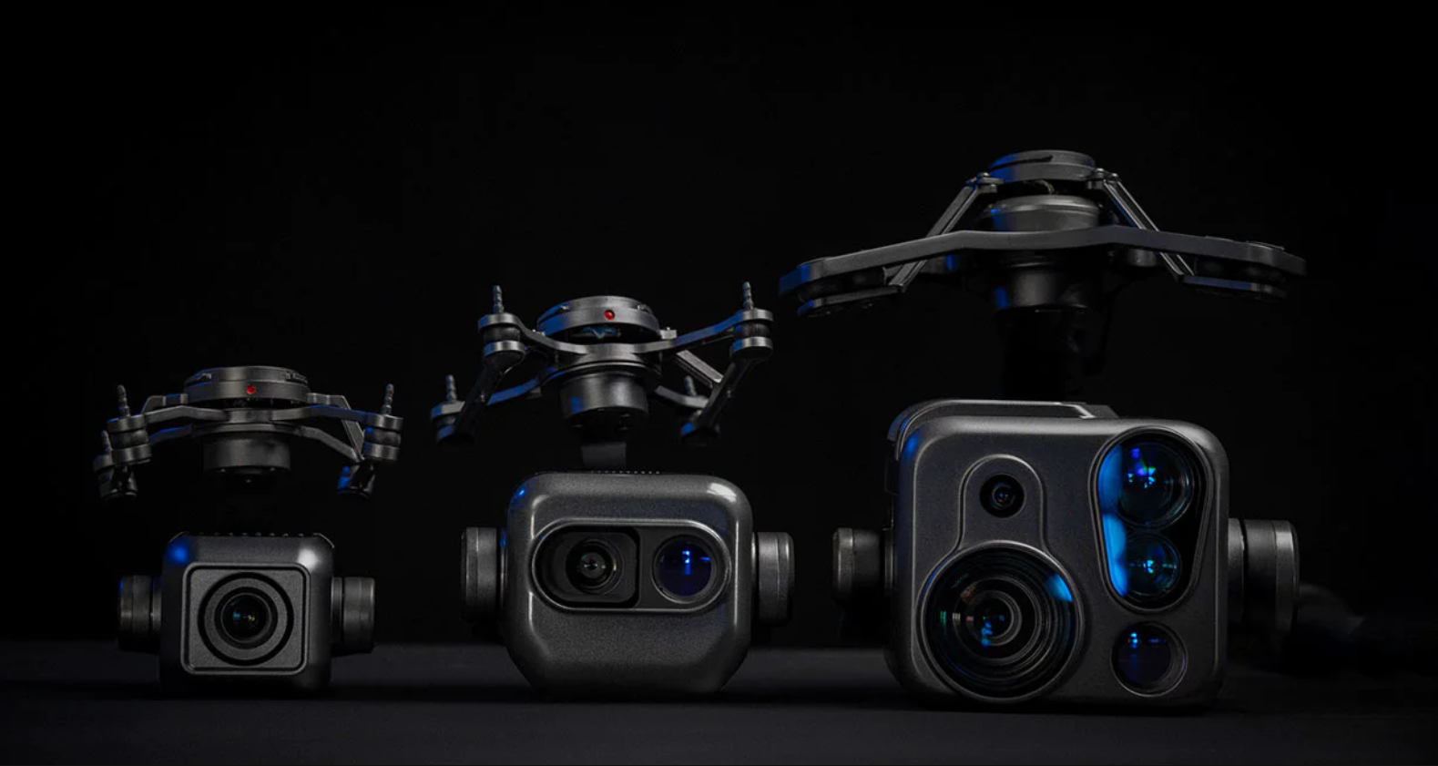
Standard visual cameras cannot penetrate heavy smoke or dense forest canopies. Quad-sensor enterprise payloads combining visual, thermal, laser, and positional capabilities represent the industrial standard for emergency management.
Sensor Type
Primary Application in Forestry
Technical Advantage
Operational Limit
Radiometric IR Thermal
Heat signature & smoldering detection
Measures real-time spot temps; cuts through smoke & night cover
Requires high thermal resolution (640x512+)
High-Zoom EO Camera
Visual confirmation & smoke tracking
Long-range visual tracking without exposing crews to hazard
Ineffective at night or in heavy fog
Laser Rangefinder (LRF)
Geographic pinpointing
Pinpoints exact GPS distance and location up to 1,500m+ away
Requires direct line-of-sight to target
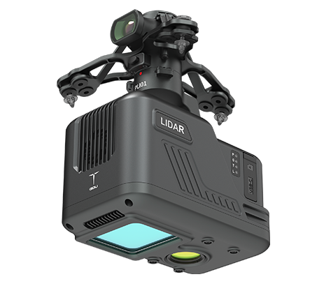
LiDAR (3D Scanning)
Fuel load & biomass mapping
Penetrates canopy to model underbrush density
Heavy payload weight; reduces flight endurance
4. Overcoming Signal Bottlenecks: Multi-UAV Relay Networks
Deep mountain valleys and dense timberlands rarely feature reliable cellular coverage. Standard radio signals block easily behind steep ridges, causing critical video dropouts during emergency operations.
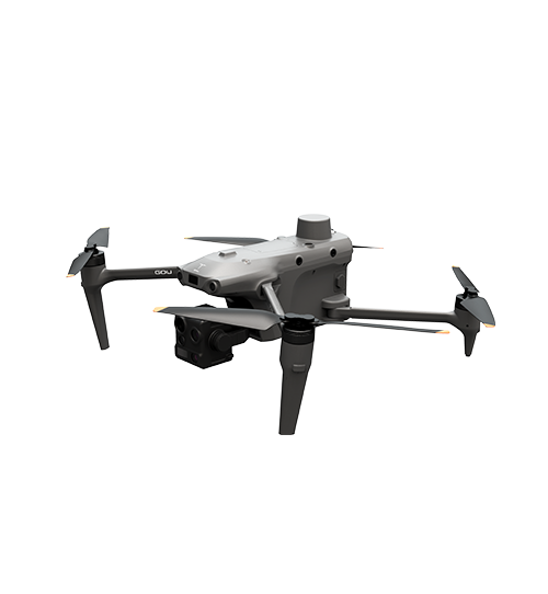
To solve signal degradation in remote environments, industrial platforms like the GDU S400E deploy specialized communication architectures:
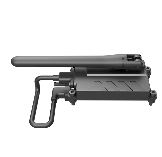
Multi-UAV Mesh Relay Nodes: The GDU S400E supports dynamic drone-to-drone signal relaying. One airborne drone acts as a mid-air relay node, bouncing high-bandwidth telemetry and live thermal video across mountain ridges back to the central command center.
Dual-Link Redundancy: By pairing long-range radio links with modular 4G/LTE expansion units, command centers maintain unbroken situational awareness regardless of mountain topography.
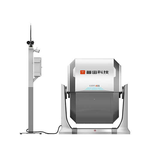
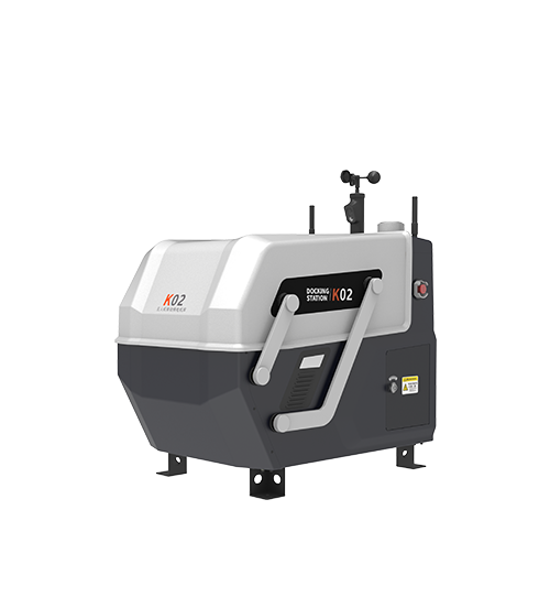
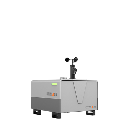
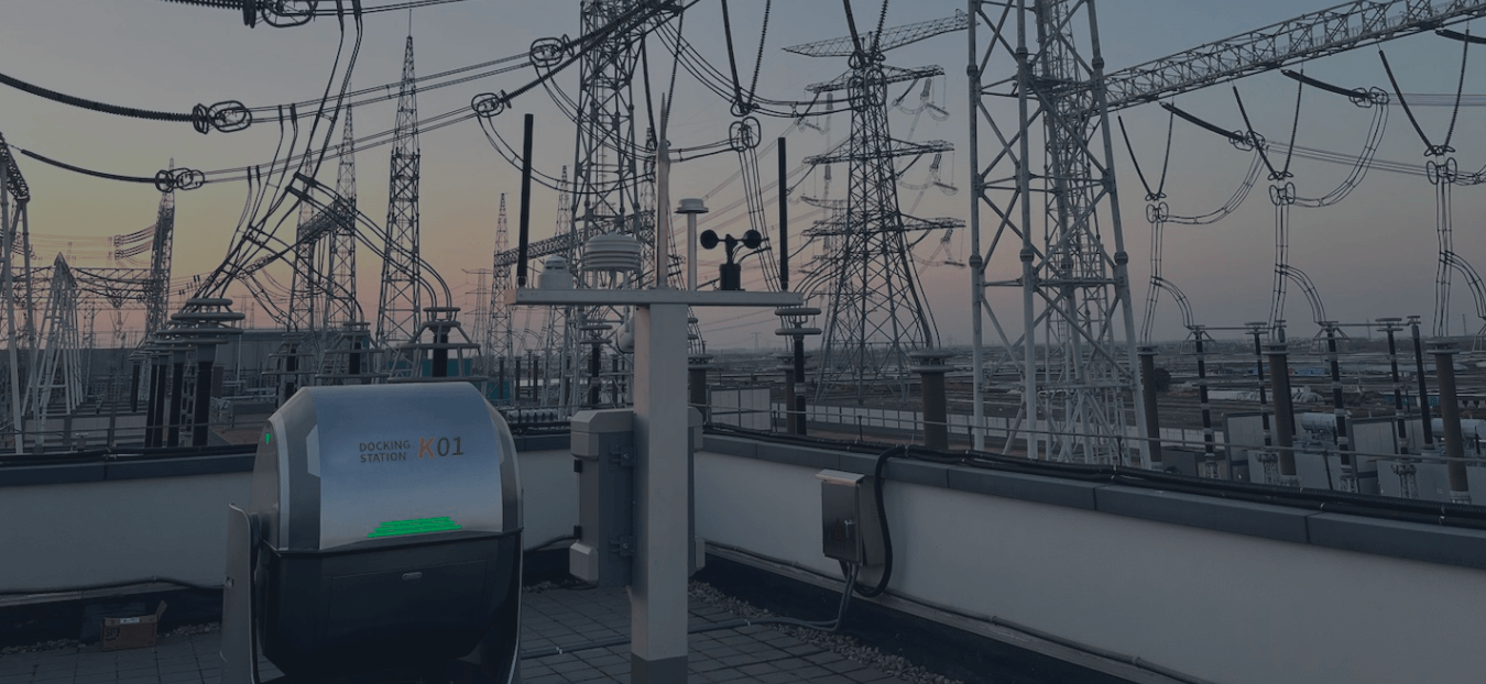
Manual pilot deployment creates operational bottlenecks and increases long-term Total Cost of Ownership (TCO). Fully automated drone docking stations (such as the GDU K-Series Docks) function as weatherproof deployment and charging hubs, establishing true 24/7 autonomous patrol coverage.
Key Evaluation Standards for Docking Hardware:
Ingress Protection: Docks must feature minimum IP54 protection (or higher, such as IP55/IP66, depending on manufacturer specifications) to withstand mountain downpours, high dust concentrations, and corrosive outdoor environments.
Integrated Climate Control (HVAC): Built-in thermal management prevents battery degradation during summer heatwaves and sub-zero winter operations.
Automated Fast Charging & Weather Monitoring: Onboard weather stations suspend flights during severe storms, while fast-charging docks replenish flight batteries within 45 minutes like GDU professional done stations.
6. Procurement Evaluation Guide for Emergency & Forestry Agencies
B2B procurement managers and systems integrators should evaluate complete hardware ecosystems rather than isolated components:
Wind Resistance Class: Wildfires generate intense thermal draft turbulence. Platform hardware must sustain stable flight in Level 7 wind conditions.
System Integration & Open API: Choose manufacturers like GDU Tech that provide open SDK/API capabilities, enabling direct data ingestion into existing GIS and dispatch dashboards.
Industrial MTBF Data: Request Mean Time Between Failures data and sub-zero battery performance reports before issuing RFQs.
Frequently Asked Questions (FAQ)
Q: What is the minimum IP rating needed for wildland patrol drones and docks?
A: While automated docking stations typically require an IP54 rating or higher, depending on the manufacturer's design, to protect sensitive electrical and charging components.
Q: How do thermal drones detect fires hidden beneath dense canopies?
A: High-sensitivity radiometric thermal sensors measure heat rising through canopy gaps, registering thermal anomalies long before visual smoke clears the tree line.
Q: Why is RTK precision necessary for drone fire prevention?
A: Real-Time Kinematic (RTK) positioning ensures centimeter-level accuracy required for automated dock landings and allows laser rangefinders to calculate exact GPS coordinates for emergency dispatch.
Reference Sources & Standards:
• ISO 21384-3: Unmanned aircraft systems — Operational procedures.


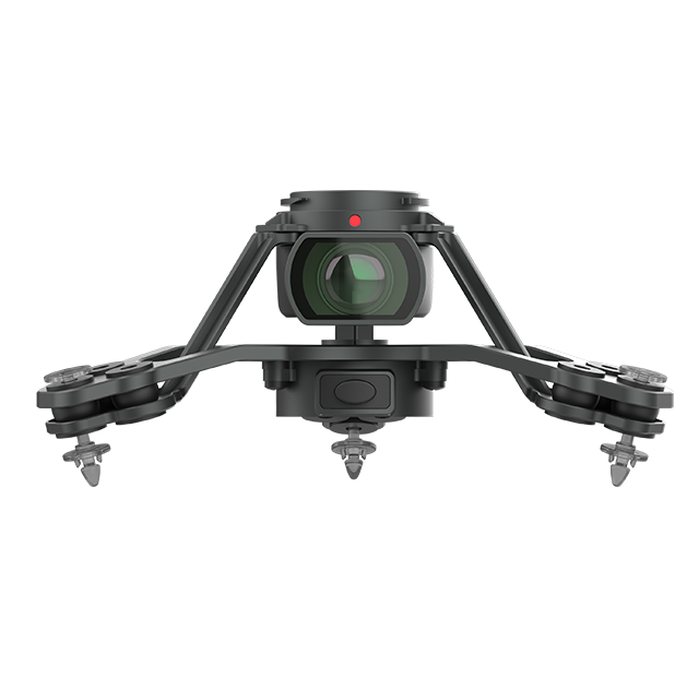
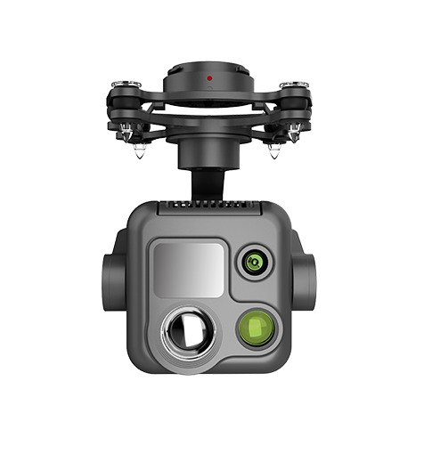 PQL02 Compact Quad-sensor Camera
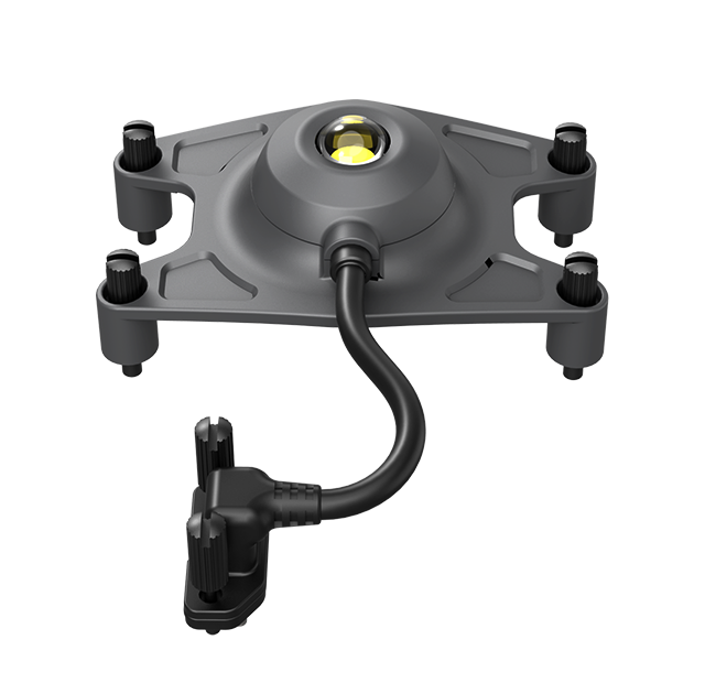
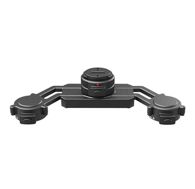
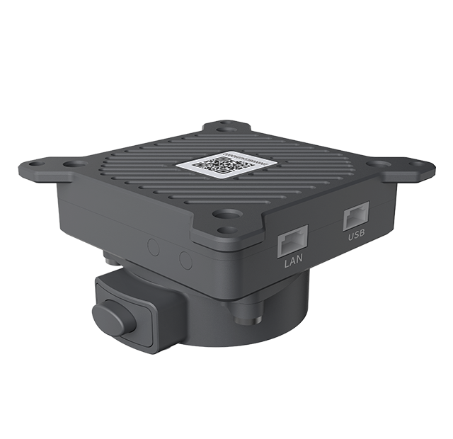 AGA01 Payload Adapter
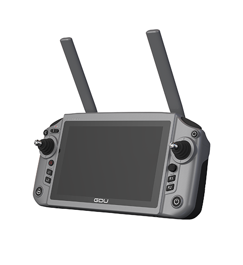 GDU RC SEE Smart Remote Controller