Applications of Drones in Smart Cities: A Complete Guide
2026-05-27
Origin:GDU Tech
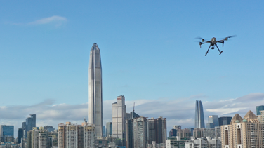
Smart cities represent the future of urban living. They integrate technology to improve efficiency and enhance the quality of life. One of the most transformative tools in this evolution is the unmanned aerial vehicle(UAV). Drones in smart citiesare no longer a futuristic concept. They are currently operational in major metropolitan areas worldwide. These aerial systems provide real-time data that traditional ground sensors cannot capture.
The adoption of drones in smart cities has grown significantly. Market reports suggest the global smart city drone market will expand by over 15% annually until 2030. This growth is driven by the need for faster emergency responses and better resource management. City planners use these tools to build more resilient urban environments.
This guide explores how aerial technology solves complex urban challenges. We will examine the core applications of drones in smart cities. You will also learn how to evaluate the right technology for urban integration.
How Drones Enhance Public Safety in Smart Cities
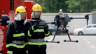
Public safety is the primary priority for urban administrators. Drones in smart cities serve as "first eyes" for emergency responders. When a 911 call is placed, a drone can often reach the scene faster than a ground vehicle. This allows dispatchers to assess the situation before police or fire crews arrive.
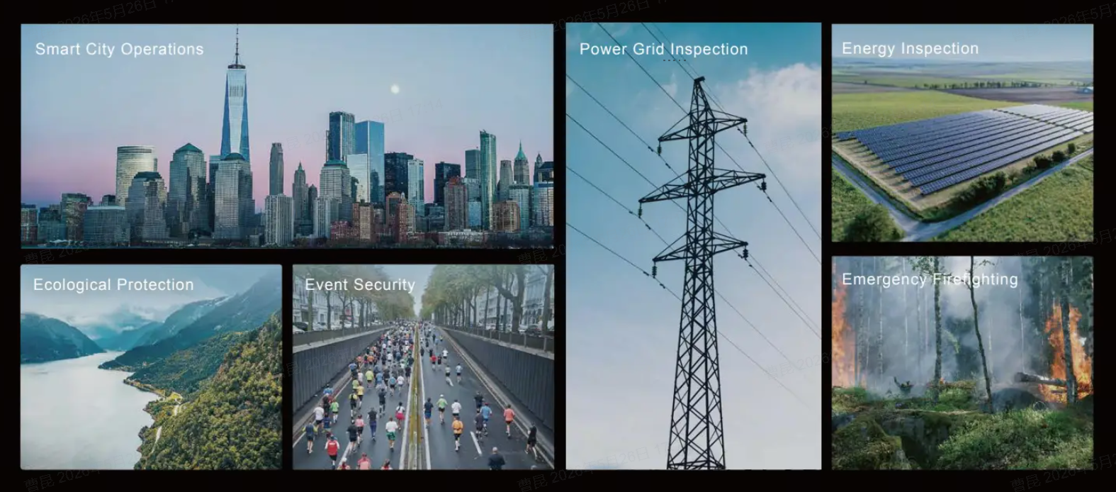
Advanced UAVs equipped with thermal imaging cameras are vital for search and rescue operations. They can locate missing persons in dark or densely wooded urban parks. In fire scenarios, drones identify "hot spots" through thick smoke. This data helps firefighters deploy resources more effectively and safely. Real-time aerial intelligence significantly reduces the risk to human life during emergencies and disasters.
Furthermore, drones provide a scalable solution for large-scale event monitoring. They can track crowd density and identify potential security breaches in real-time. This capability ensures that public gatherings remain orderly and safe. Data shows that drone integration can improve emergency response efficiency by up to 40%.
Key Roles of Drones in Smart City Traffic Management
Traffic congestion is a persistent challenge in growing urban hubs. Drones in smart cities offer a dynamic solution for monitoring vehicle flow. Unlike fixed cameras, drones can quickly reposition to key locations to identify traffic bottlenecks. They provide a bird's-eye view that covers multiple intersections simultaneously.
UAVs are also essential for accident scene reconstruction. They can capture high-resolution 3D maps of a crash site in minutes. This allows authorities to clear roads much faster than traditional manual measurement methods. Faster road clearance reduces secondary accidents and minimizes economic losses caused by traffic delays.
In the long term, cities use drone data to optimize infrastructure planning. By analyzing traffic patterns from above, planners can adjust signal timings or plan new lanes. Some smart cities are exploring the use of drones for automated parking enforcement. This reduces the need for patrol vehicles, lowering the city's overall carbon footprint.
Infrastructure Inspection and Urban Planning with UAVs
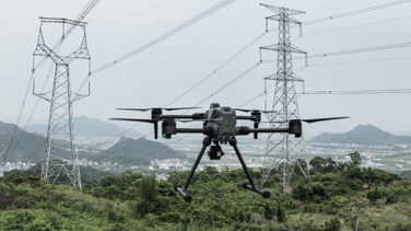
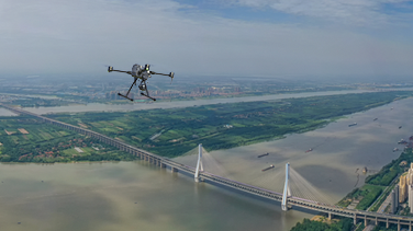
Maintaining urban infrastructure is both expensive and dangerous. Drones in smart cities simplify the inspection of bridges, power lines, and tall buildings. They can fly close to structures to identify cracks or corrosion without the need for scaffolding. This proactive approach prevents costly structural failures.
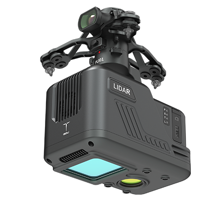
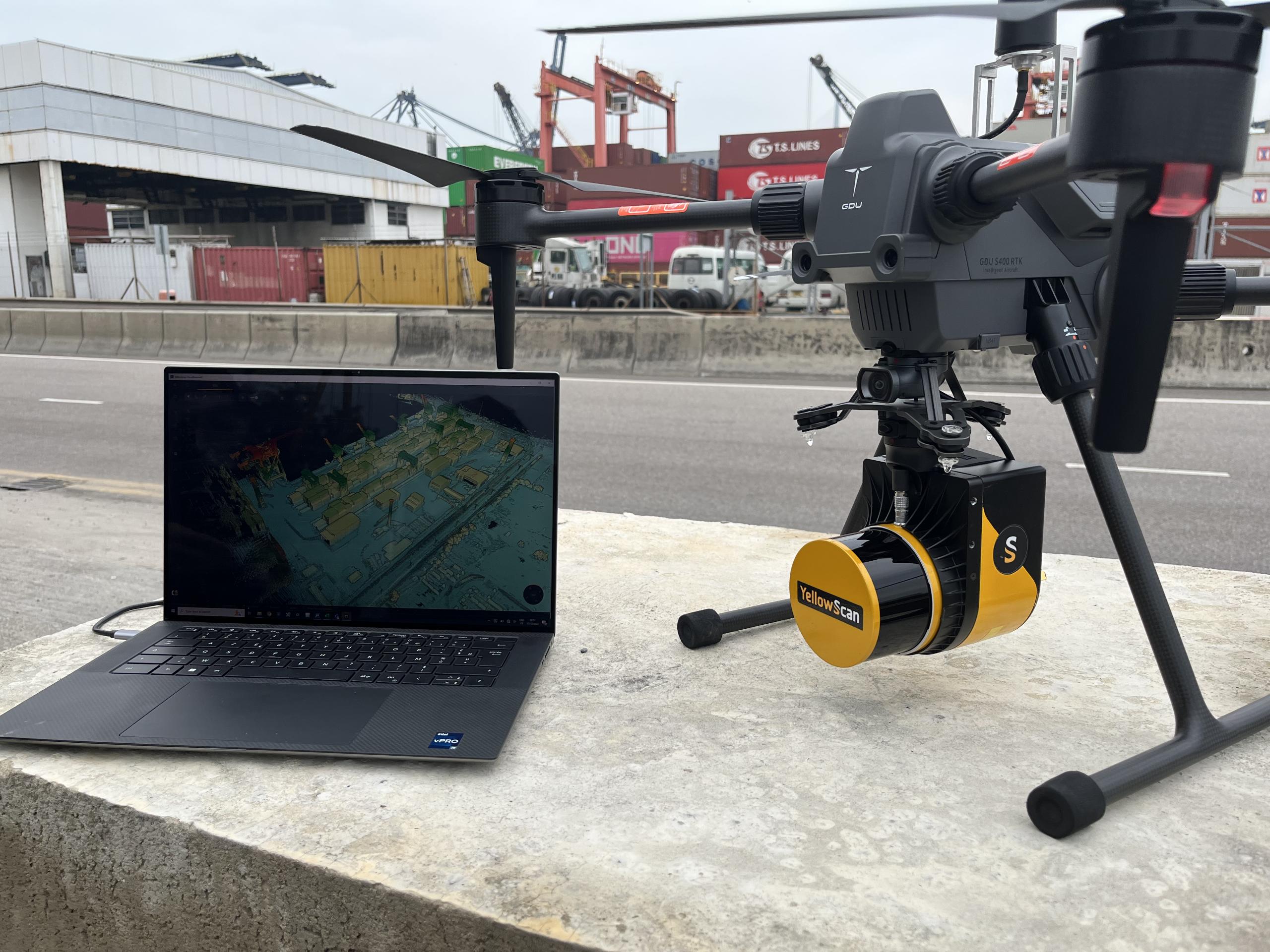
High-resolution mapping is another critical application. Drones equipped with LiDAR sensors generate detailed 3D models of urban environments. These models assist architects and engineers in simulating the impact of new developments. Accurate aerial mapping ensures that urban growth is sustainable and well-organized.
Environmental monitoring is also becoming a standard drone application. UAVs can carry sensors to measure air quality and identify sources of pollution. They help cities monitor "heat islands" by mapping temperature variations across different neighborhoods. This data is crucial for implementing "green" city initiatives.
Application Category
Specific Drone Function
Key Benefit
Public Safety
Thermal imaging and rapid response
Faster rescue and reduced risk
Traffic Control
Live monitoring and 3D mapping
Reduced congestion and faster clearing
Infrastructure
Structural health monitoring
Lower maintenance costs and safety
Environment
Air quality and heat mapping
Better urban health and sustainability
How to Select the Right UAV Platform for Urban Operations
Choosing the right technology is critical for successful integration. Not all drones are suitable for complex urban environments. Decision-makers must prioritize safety features and payload flexibility. The effectiveness of drones in smart cities depends on their ability to operate reliably in areas with high radio-frequency interference.
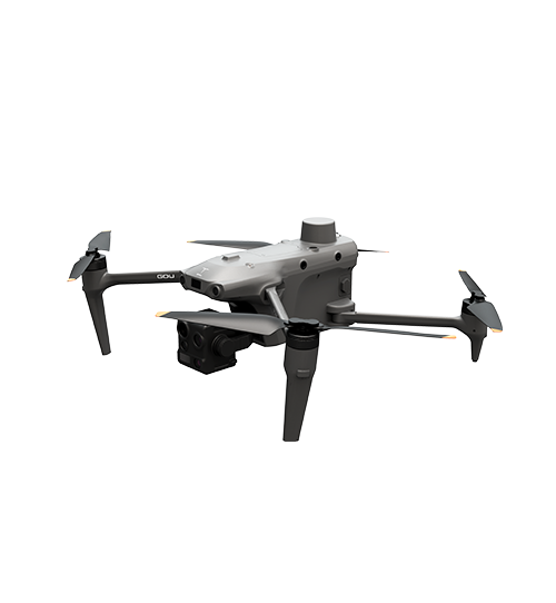
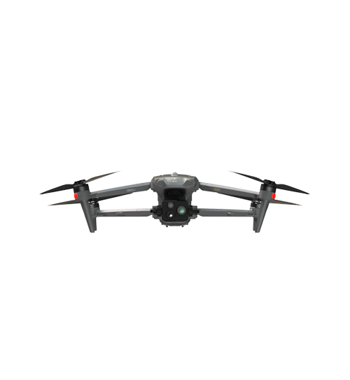
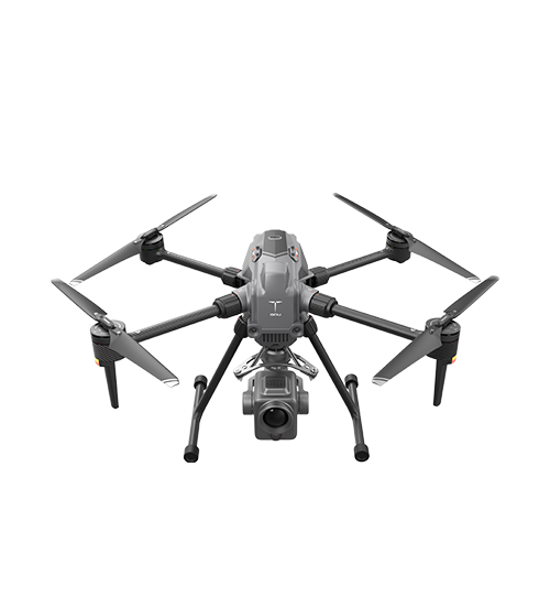
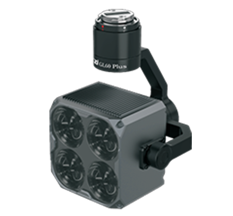
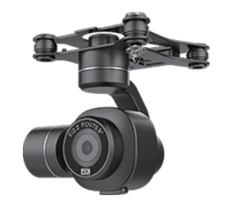
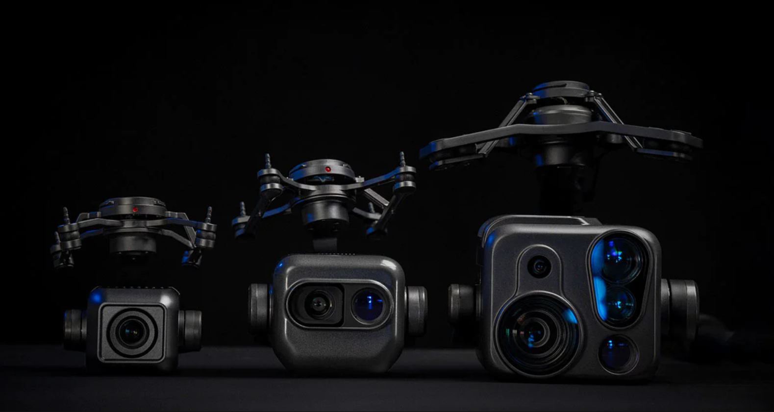
One vital factor is the modularity of the drone platform. A single UAV should be able to switch between a thermal camera for firefighting and a zoom camera for traffic monitoring. This maximizes the return on investment for the city. Modular payloads allow departments to share hardware across different municipal functions.
Another essential consideration is the transmission range and link stability. Urban areas are filled with radio frequency interference from Wi-Fi and cellular towers. High-quality UAVs use encrypted, frequency-hopping technology to maintain a stable connection. Look for platforms with IP-rated weather protection to ensure safe operation in rain or dust conditions.
Finally, consider the ease of deployment. In an emergency, every second counts. Systems that feature "quick-start" capabilities and automated obstacle avoidance are preferred. Reliable obstacle avoidance is mandatory for flying safely near buildings and power lines.
Summary
The integration of drones in smart cities is a milestone in modern urban management. These tools provide unparalleled efficiency in public safety, traffic management, and infrastructure maintenance. By selecting modular and robust UAV platforms, cities can improve service delivery while reducing operational costs. Aerial technology is the backbone of a smarter, safer, and more connected urban future.
FAQ
Are drones in smart cities legal and safe?
Yes, most cities operate drones under strict national aviation regulations and local privacy laws. Professional UAVs include redundant systems and obstacle avoidance to ensure public safety.
How do drones handle privacy concerns in urban areas?
Smart cities implement data masking and strict storage protocols to protect citizen privacy. Most operational drones focus on infrastructure or traffic flow rather than individual monitoring.
Can drones fly in bad weather within a city?
Advanced industrial drones have high IP ratings, allowing them to fly in moderate rain and wind. However, extreme weather conditions may still limit flight operations for safety reasons.
What is the flight time of a typical urban service drone?
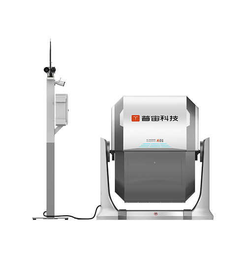
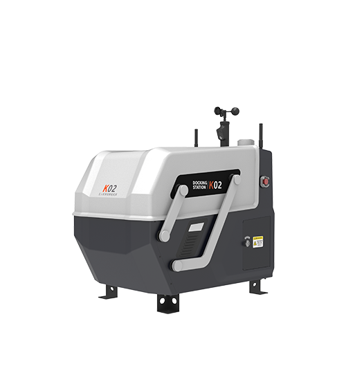
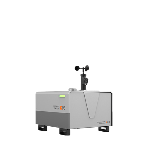
Most professional UAVs offer average flight times of 30 to 50 minutes per battery. Swappable battery systems and automated charging docks allow for near-continuous operation.
How do drones communicate in areas with high interference?
Modern drones use robust digital transmission systems and 4G/5G links. These technologies ensure stable data feeds even in environments with heavy electronic noise.
Reference Sources:
Federal Aviation Administration (FAA) - Drone Operations and Regulations: https://www.faa.gov


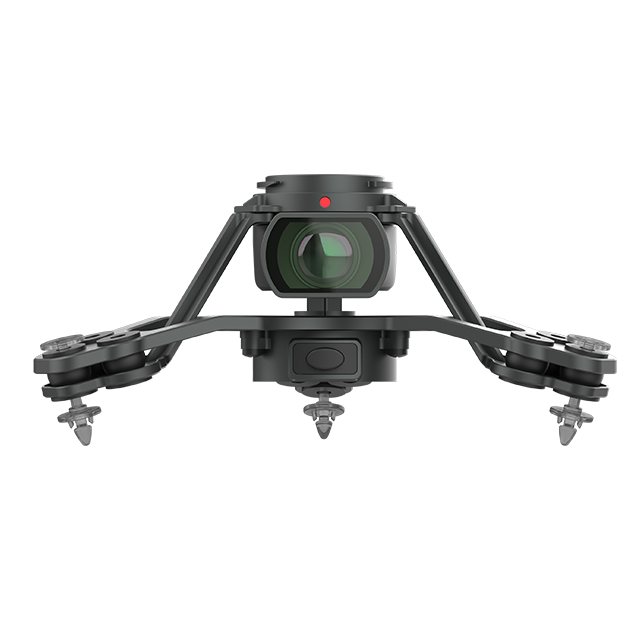
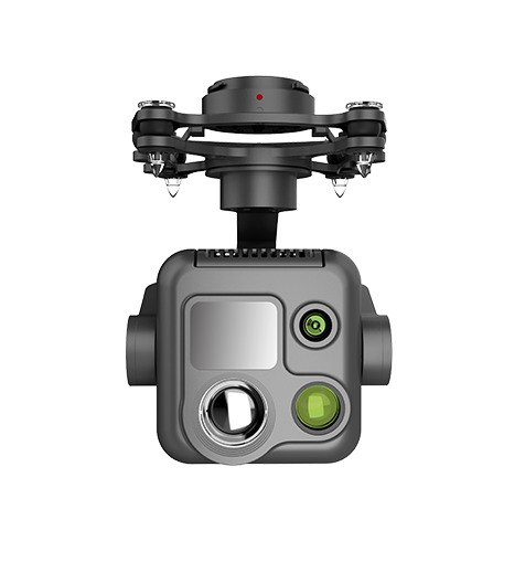 PQL02 Compact Quad-sensor Camera
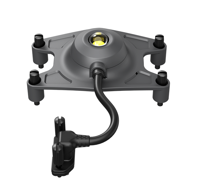
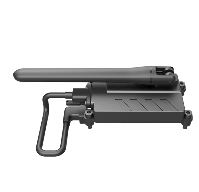
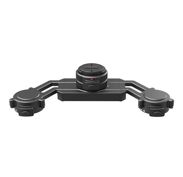
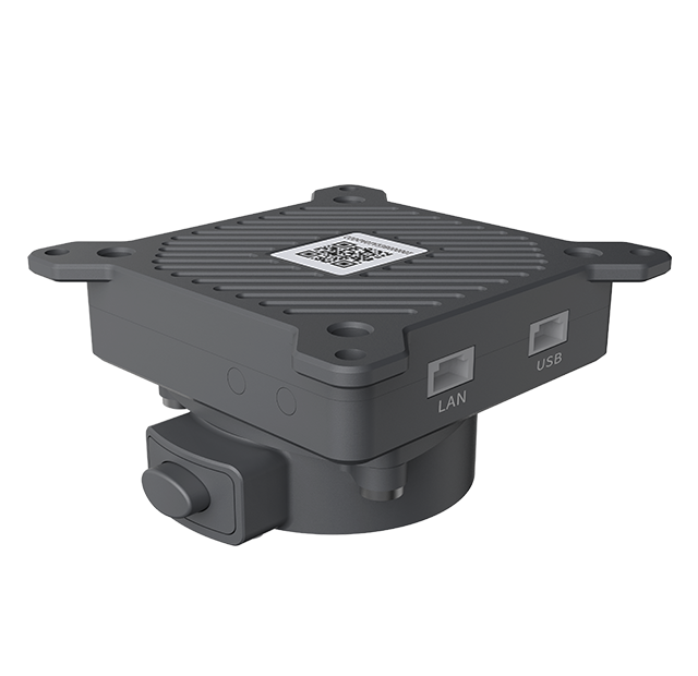 AGA01 Payload Adapter
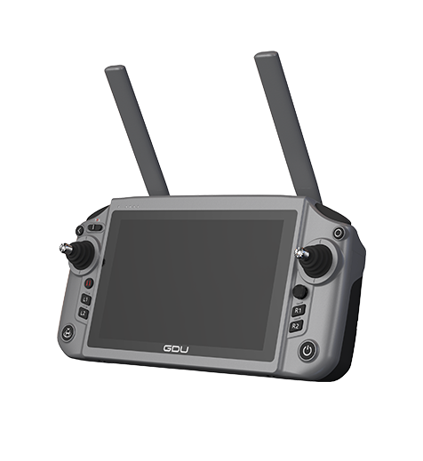 GDU RC SEE Smart Remote Controller