Drone Power Line Inspection: Technology, Process & Benefits
2026-07-08
Origin:GDU-Tech
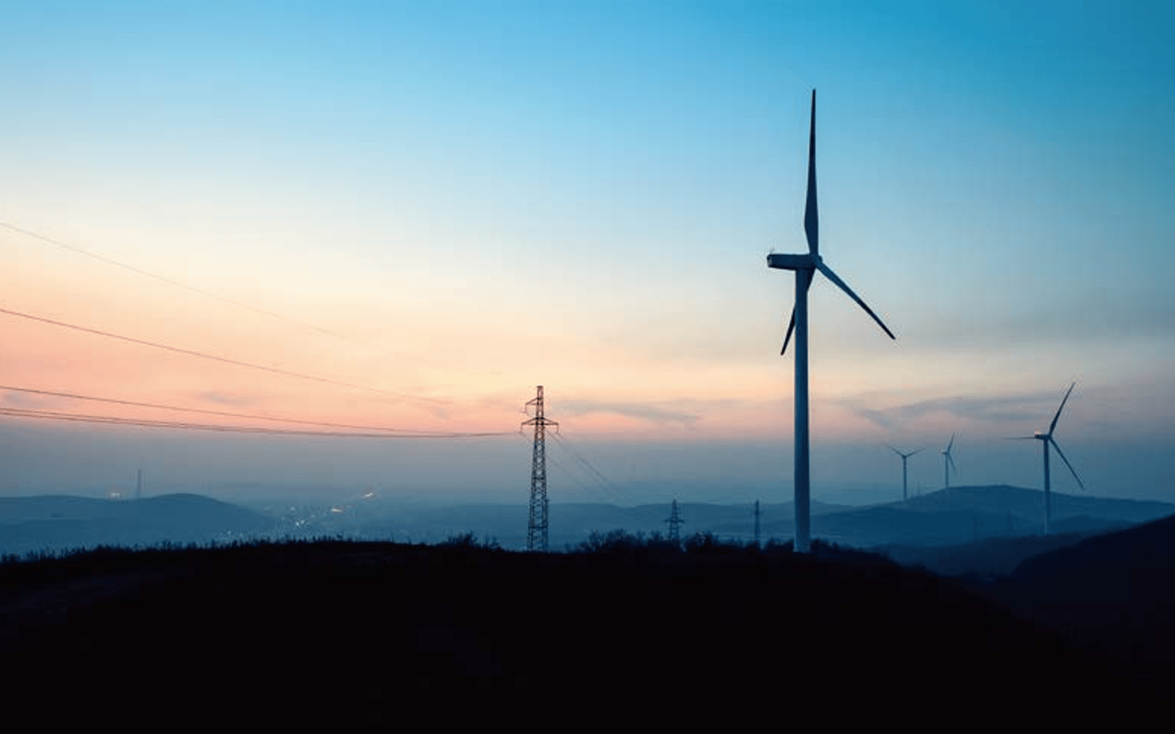
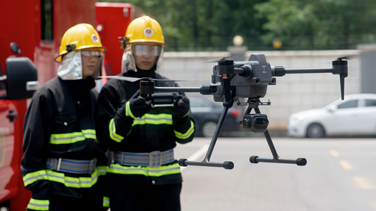
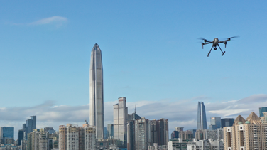
The modern electrical grid is a sprawling, complex nervous system that requires constant vigilance. Traditionally, inspecting high-voltage transmission lines and distribution networks involved high-risk manual climbing or expensive helicopter flyovers.Today, utilities are increasingly integrating UAVs into inspection workflows rather than relying solely on traditional inspection methods.
Drone power line inspection is a specialized application of aerial robotics designed to identify structural defects, thermal anomalies, and vegetation encroachment in many cases without requiring planned outages.
By utilizing advanced sensors and autonomous flight path planning, utilities can capture high-resolution data that was previously inaccessible or too dangerous to obtain.
The Core Technology: How Drones Navigate High-Voltage Environments
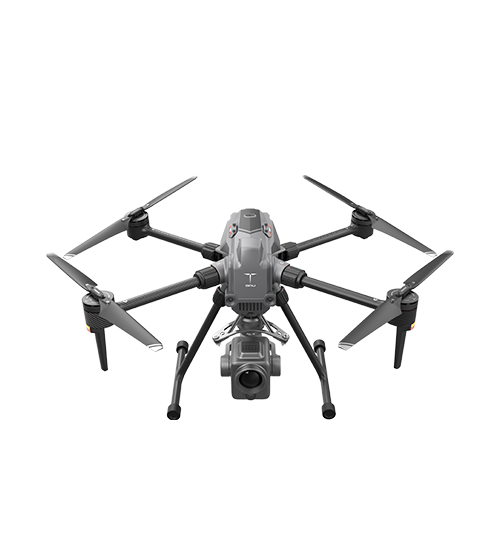
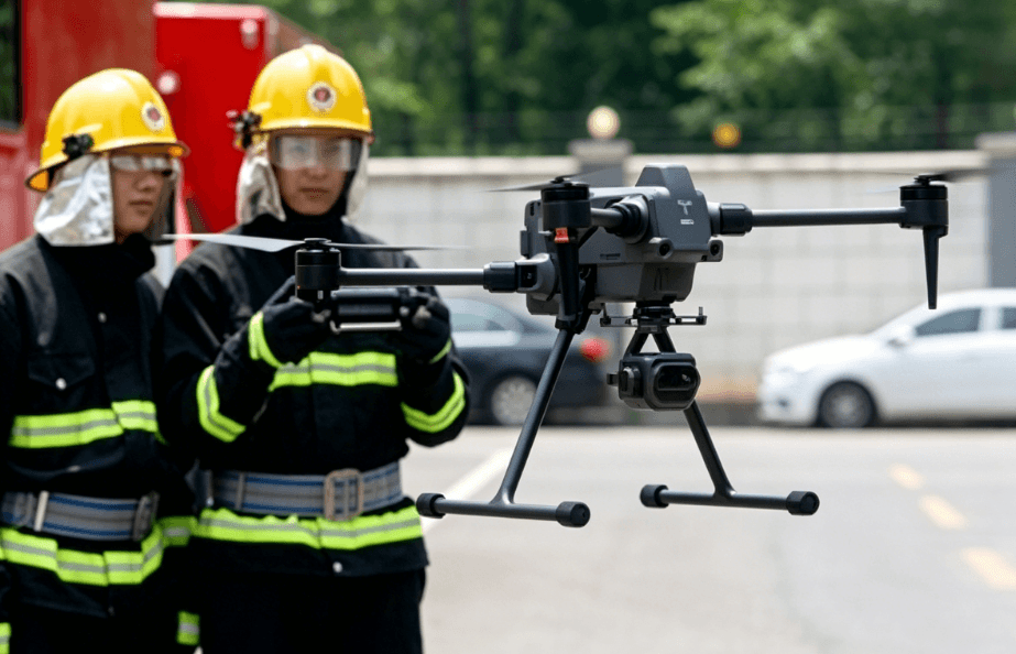
Operating a drone in close proximity to high-voltage power lines is technically demanding due to Electromagnetic Interference (EMI). Consumer drones may experience compass interference, degraded positioning performance, or flight instability when operating near high-voltage infrastructure. Professional-grade industrial UAVs, such as those developed by GDU Tech, utilize specific engineering hardware to mitigate these risks.
1. RTK (Real-Time Kinematic) Positioning
Standard GPS has a margin of error of several meters. For power line inspections, where a drone must fly within a specific "safe zone" near conductors, RTK provides centimeter-level accuracy. This precision allows for repeatable flight paths, ensuring that the same insulator or splice can be inspected over multiple years to track degradation.
2. EMI Shielding and Redundancy
High-voltage lines generate significant magnetic fields.Industrial UAVs typically combine EMC-optimized electronics, redundant IMUs, and advanced flight-control algorithms to improve reliability in electromagnetically complex environments and redundant IMUs (Inertial Measurement Units) to ensure the flight controller remains stable even when operating safely at controlled stand-off distances from energized conductors.
3. Payload Versatility
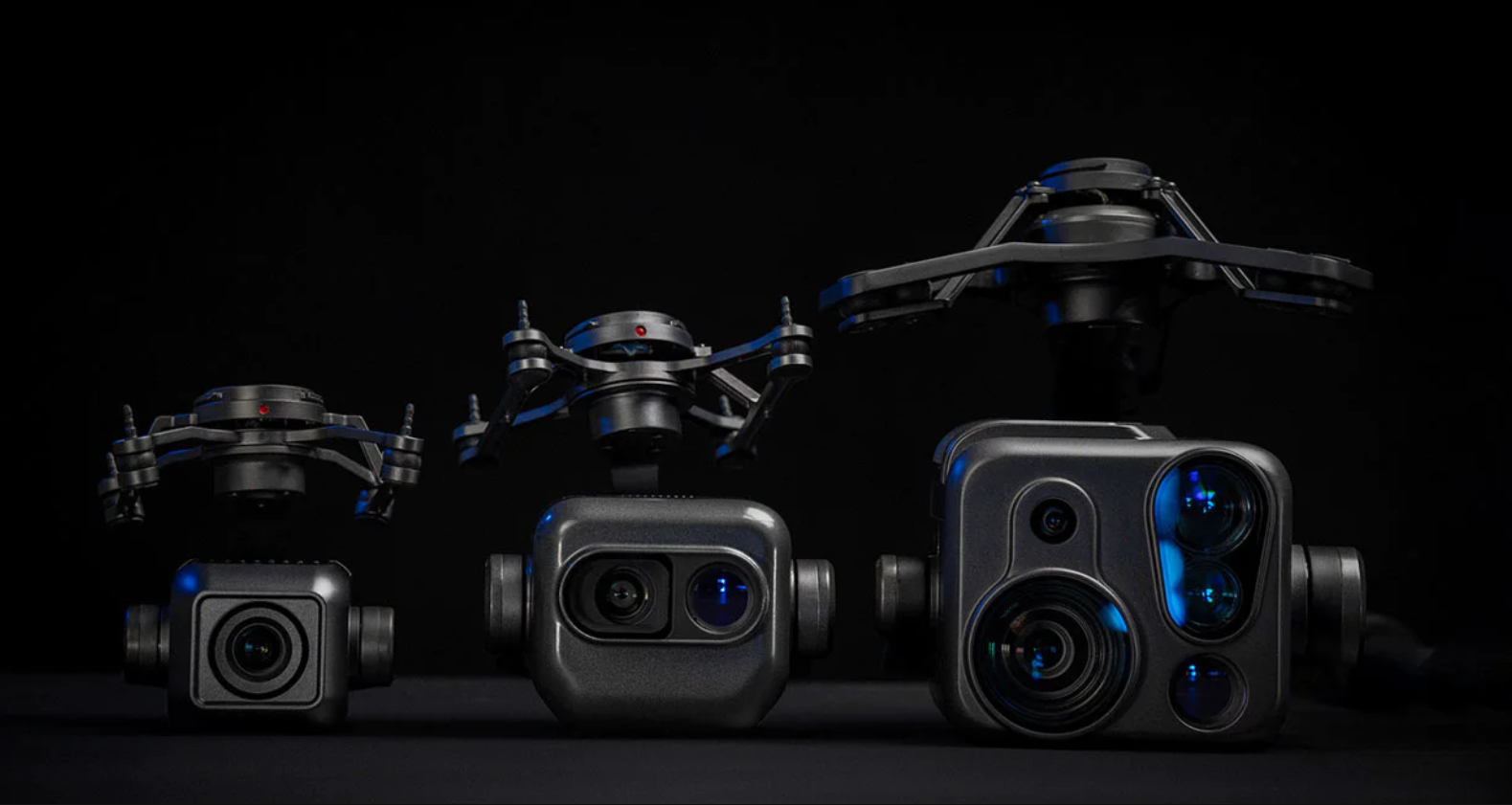
The "eyes" of the drone are its most critical component. Modern inspection workflows rely on "multi-sensor" payloads:
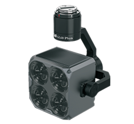
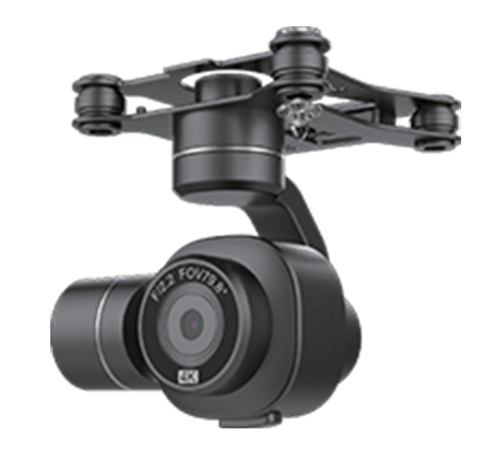
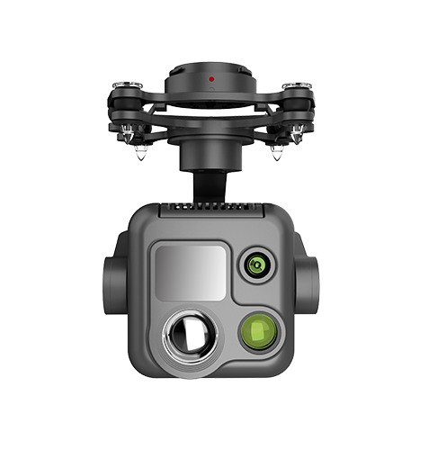
High-Resolution Optical Cameras: High-resolution RGB cameras with optical zoom capabilities allow pilots to inspect cotter pins and bolts from a safe distance.
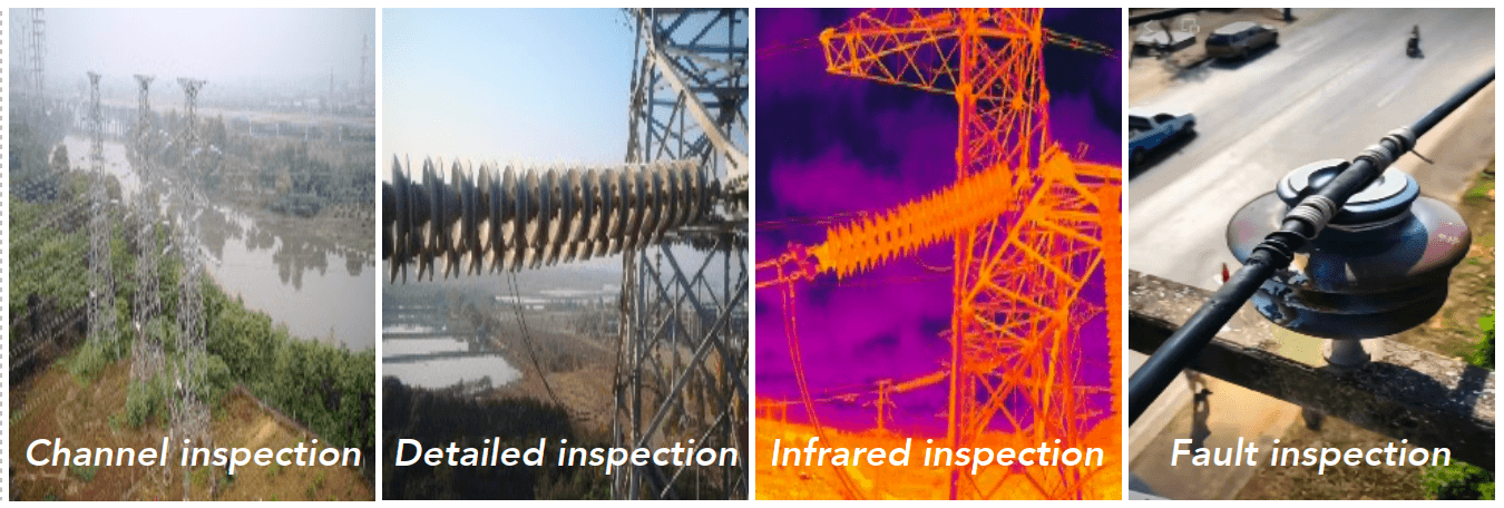
Thermal (Infrared) Sensors: Used to detect "hotspots" caused by loose connections or abnormal heat patterns associated with loose connections, overloaded components, or deteriorating equipment.
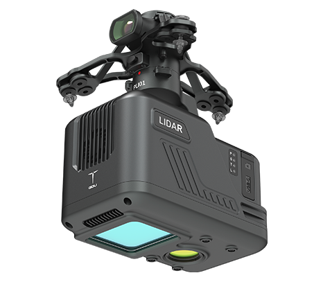
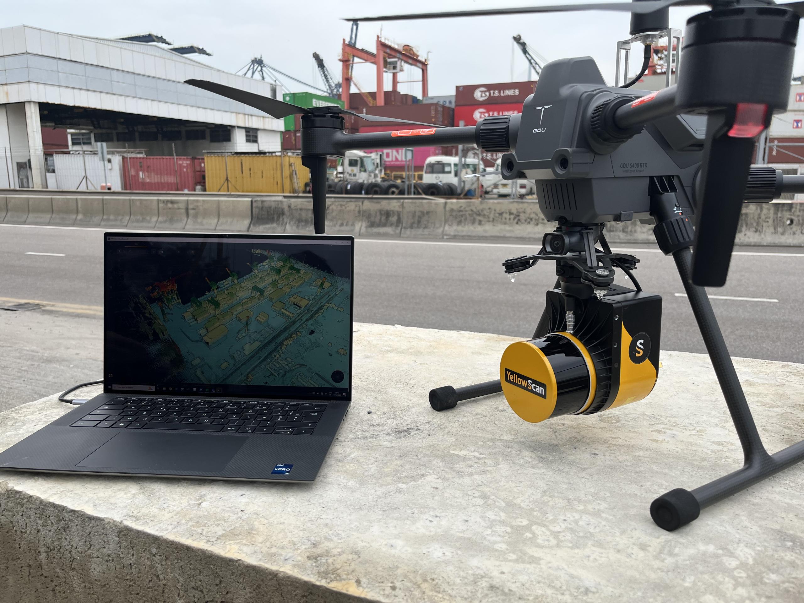
LiDAR (Light Detection and Ranging): Creates a 3D point cloud of the corridor to accurately measure vegetation clearance and corridor geometry between lines and nearby trees (vegetation management).
Key Sensor Capabilities in Utility Inspections
Sensor Type
Primary Use Case
Critical Fault Detected
RGB/Optical
Visual structural integrity
Cracked insulators, rusted lattice, bird nests
Thermal (IR)
Heat signature analysis
Failing splices, overloaded transformers
LiDAR
Spatial mapping
Vegetation encroachment, line sag
Corona Camera
UV detection
Corona discharge or partial discharge that may indicate insulation degradation.
The Inspection Workflow: From Flight Planning to Actionable Data
A successful drone power line inspection is a multi-stage process that integrates aviation safety with electrical engineering standards.
Stage 1: Mission Planning and Risk Assessment
Before the drone leaves the ground, engineers use GIS (Geographic Information System) data to map the flight path. This includes identifying "No-Fly Zones," assessing wind patterns, and takeoff and landing locations. For long-range transmission lines, teams may utilize BVLOS (Beyond Visual Line of Sight) waivers where regulations allow.
Stage 2: Data Acquisition (The Flight)
During the flight, the drone typically follows a pre-programmed corridor-following flight pathor "grid" pattern around the utility poles or towers.
Automated Inspection: The drone uses obstacle sensing and collision avoidance systems to maintain a set distance from the conductors.
Manual Detail Capture: The pilot or sensor operator may take manual control to zoom in on a specific suspected defect, such as a frayed wire or a damaged dampener.
Stage 3: Data Processing and AI Analysis
A single day of flight can generate thousands of high-resolution images. Manually reviewing these is inefficient.Many utilities and inspection service providers increasingly use AI-assisted image analysis automatically flag anomalies. For example, a machine learning model can be trained to recognize the specific shape of a "healthy" insulator; if it detects a chip or a missing disc, it flags that image for an engineer’s final review.
Critical Faults Identified via UAV Inspection
The primary goal of drone power line inspection is to move from reactive maintenance (fixing things after they break) to predictive maintenance.
Insulator Damage: Porcelain or glass insulators can develop "flashover" tracks or physical cracks. Drones capture these from top-down angles that ground crews cannot see.
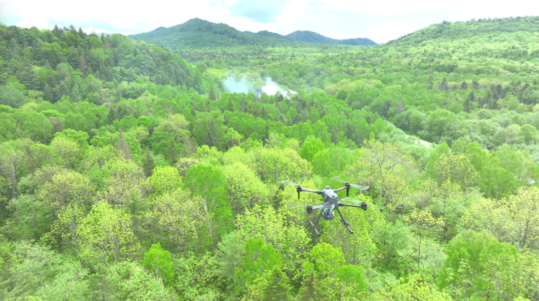
Vegetation Encroachment: Trees growing too close to lines are a leading cause of wildfires and outages. LiDAR-equipped drones can calculate the exact clearance distance between a branch and a conductor.
Component Corrosion: In coastal or industrial areas, salt and chemicals corrode galvanized steel towers. High-zoom cameras identify "bleeding" rust before structural integrity is compromised.
Thermal Anomalies: Resistance in an electrical circuit creates heat. A thermal sensor can identify a "hot" connector that is may require further investigation or maintenance, allowing for a planned repair rather than an emergency midnight outage.
Why Industrial UAVs are Replacing Traditional Methods
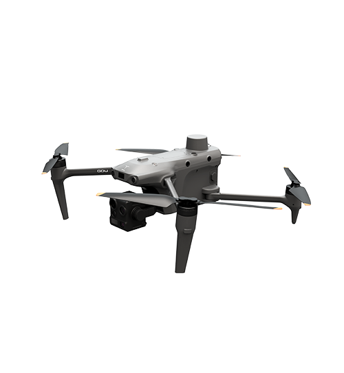
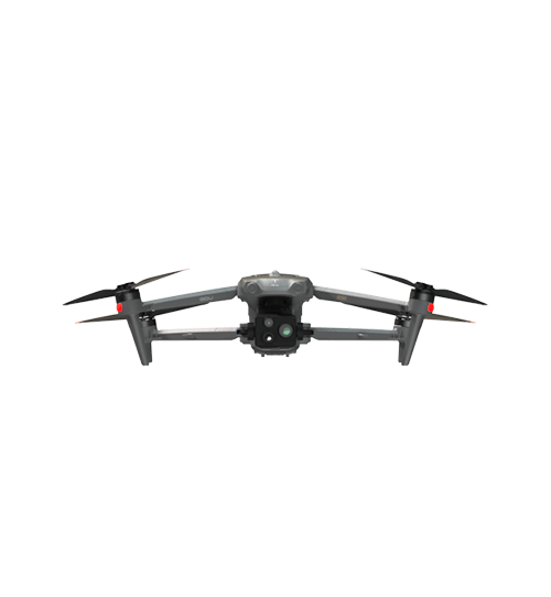
The shift to drones like the GDU SAGA or K01 series is driven by three measurable factors:
Safety: Linemen no longer need to climb energized towers for routine visual checks. This significantly reduces the "Fall from Height" and "Electrocution" risk profiles.
Efficiency: A drone team can inspect 10 to 15 kilometers of line per day, whereas a ground crew might only cover 2 to 3 kilometers.
Data Granularity: Unlike a helicopter flying at 50 knots, a drone can hover and capture multiple angles of a single bolt, providing a supports asset digitization and long-term condition tracking of the asset that can be analyzed year-over-year.
The Future: Autonomous "Drone-in-a-Box" Solutions
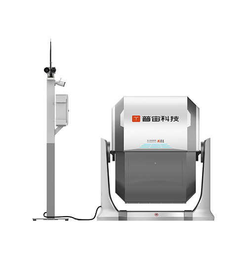
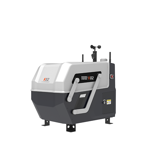
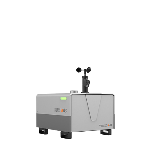
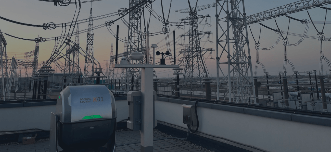
The industry is moving toward fully autonomous systems. In this model, a weather-proof docking station is installed at a substation. At scheduled intervals, the station opens, a drone emerges, flies a pre-set inspection route, returns to charge, and uploads the data to the cloud automatically. With minimal human intervention approach represents the next frontier in grid resilience.
For utility managers, selecting the right platform involves balancing payload capacity, flight time, and the ability to operate in diverse weather conditions. As the grid becomes more complex with the integration of renewable energy, the speed and precision of drone power line inspection will remain the cornerstone of modern infrastructure management.
FAQ
Q: Can drones fly near power lines without crashing?
A: Yes, provided they are industrial-grade UAVs equipped with RTK positioning and EMI shielding. A combination of navigation redundancy, robust flight-control algorithms, and electromagnetic compatibility design the electromagnetic field of the power lines from interfering with the drone’s internal sensors and flight controller.
Q: How do drones detect "invisible" problems like failing electrical joints?
A: Drones use Thermal (Infrared) sensors. When an electrical joint begins to fail, its resistance increases, which generates heat. The thermal camera visualizes this heat signature as a "hotspot" against the cooler ambient temperature of the wire.
Q: What is the maximum wind speed for a drone power line inspection?
A:The maximum operating wind speed depends on the UAV platform. Industrial systems typically support moderate to strong wind conditions within the manufacturer's operating limits.
However, for high-resolution photography, lower wind speeds are preferred to ensure maximum image clarity and gimbal stability.
Q: Does drone inspection require the power to be turned off?
A: No. One of the greatest advantages of UAV inspection is that it can be performed while the lines are "live" (energized), preventing service interruptions for customers.


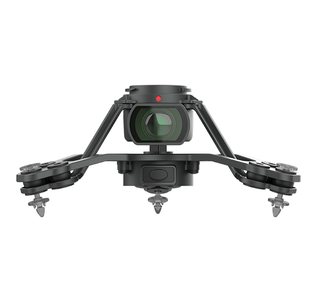
 PQL02 Compact Quad-sensor Camera
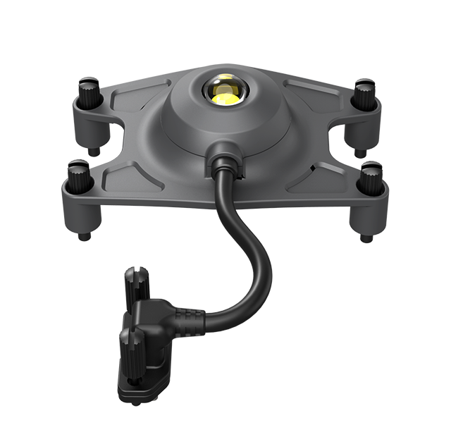
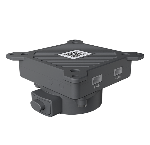 AGA01 Payload Adapter
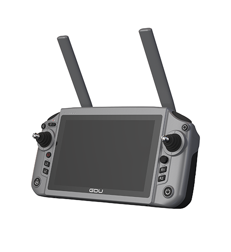 GDU RC SEE Smart Remote Controller