How Drones in Firefighting Enhance Safety and Response
2026-06-11
Origin:GDU-Tech
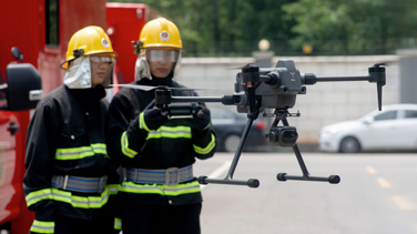
The integration of Unmanned Aerial Vehicles (UAVs) into public safety has fundamentally shifted how fire departments approach complex emergencies. What was once a high-risk "blind" operation has evolved into a data-driven tactical response. By providing a persistent overhead view, drones allow incident commanders to gain enhanced visibility in smoke-filled environments through thermal imaging technology.
For fire services and emergency management agencies, the shift toward aerial intelligence is not just about a new tool; it is about mitigating risk to human life. In high-stakes environments where every second dictates the outcome, the technical capabilities of modern industrial drones provide the clarity required to make life-saving decisions.
How Drones in Firefighting Transform Situational Awareness
The primary role of drones in firefighting is the rapid delivery of situational awareness. In the initial minutes of an arrival—often called the "size-up" phase—firefighters must assess the scale of the incident, identify hazards, and determine the best entry points.
Traditionally, this required personnel to circle a structure or use ladders for a higher vantage point. Drones eliminate these delays. A UAV can often be deployed within minutes, providing a rapid aerial overview of the scene. This "eye in the sky" allows commanders to identify "hot spots" that are invisible to the naked eye, even through dense smoke, while thermal imaging can detect heat signatures from behind walls.
Technical Payloads: The Hardware Behind the Mission
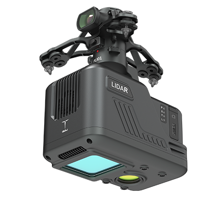
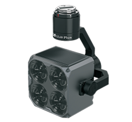
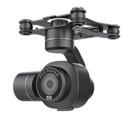
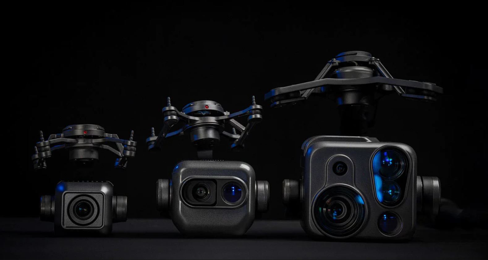
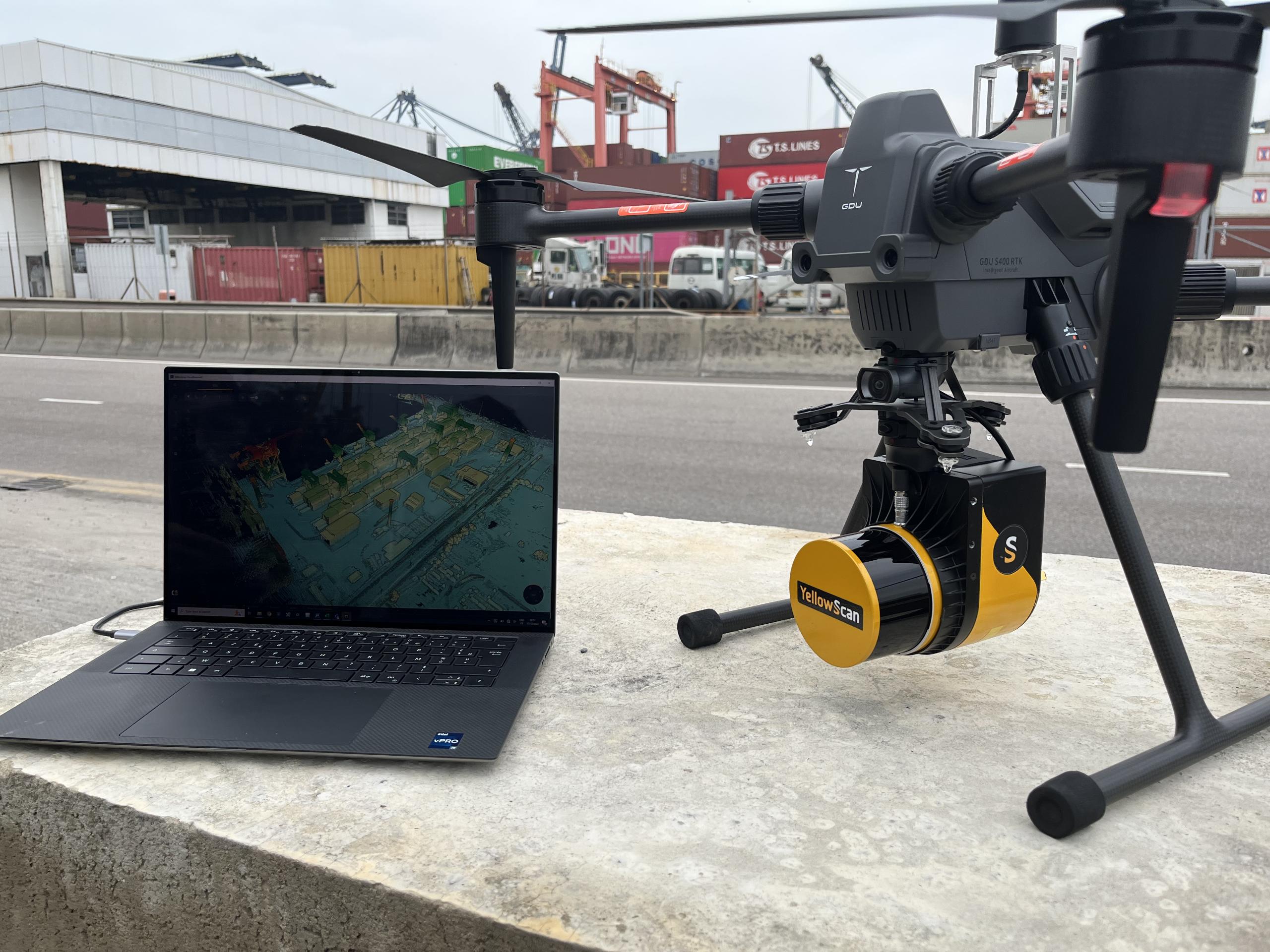
The effectiveness of a firefighting drone depends almost entirely on its sensor payload. Modern industrial platforms, such as those utilized in professional emergency response, rely on multi-sensor gimbals that combine several data streams into a single interface.
Sensor Type
Function in Firefighting
Critical Benefit
Radiometric Thermal
Detects heat signatures through smoke/darkness.
Identifies fire origin and trapped victims.
High-Resolution Optical
Provides detailed 4K or 8K visual feeds.
Allows for structural damage assessment from a distance.
Laser Rangefinder (LRF)
Measures exact coordinates and distances.
Provides precise location data for response coordination and field operations.
LiDAR
Generates high-precision terrain and vegetation models.
Supports wildfire assessment and operational planning.
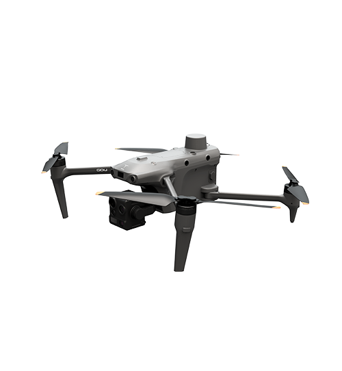
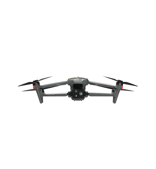
Advanced UAV systems, such as the GDU S400E, prioritize modularity. This allows operators to switch between thermal imaging payloads, multi-sensor camera systems, LiDAR modules, and other mission-specific equipment for emergency response operations.
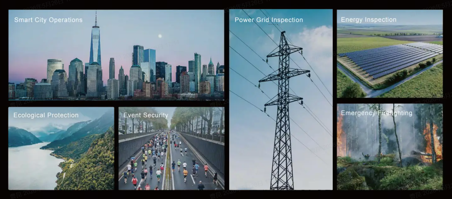
Key Applications in Urban and Wildland Environments
Firefighting environments vary drastically, and drone technology adapts to these specific challenges.
1. Structural Fires and Industrial Incidents
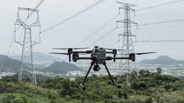
In urban settings, the primary risk is structural collapse and "backdraft" scenarios. Drones equipped with high-zoom cameras allow engineers and commanders to inspect roof integrity and HVAC units without putting a firefighter on a weakened surface. For industrial chemical fires, drones can be equipped with specialized inspection payloads to provide aerial intelligence while keeping personnel at a safe standoff distance.
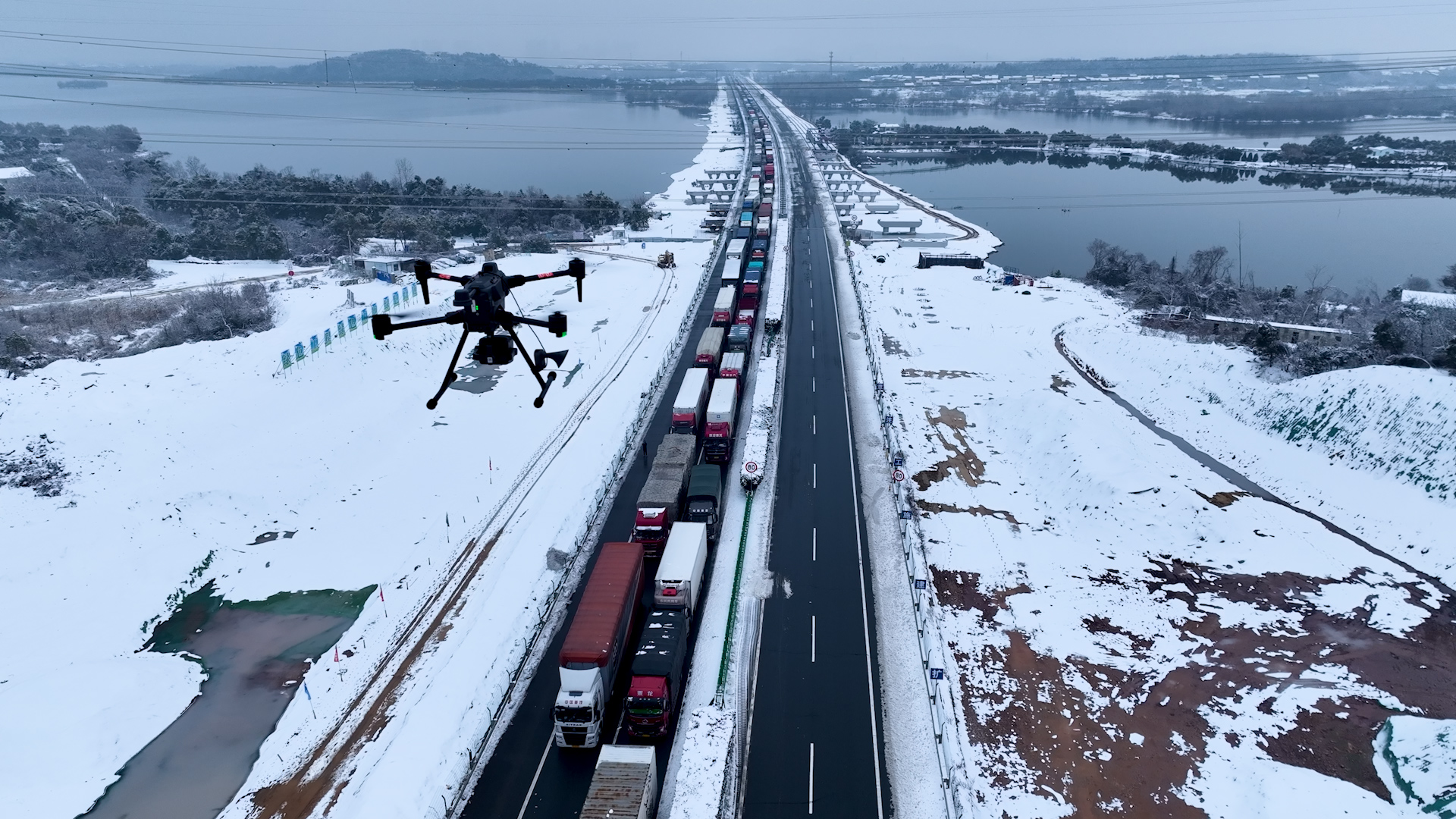
2. Wildfire Management and Containment
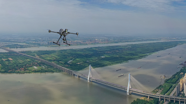
Wildfires present a scale problem. Traditional manned helicopters are expensive and cannot fly in heavy smoke or at night due to safety regulations. Drones, however, can operate in low-visibility conditions. They provide "orthomosaic" mapping—stitching together thousands of images to create a real-time, high-definition map of the fire line. This data is vital for predicting the fire's trajectory based on wind and fuel loads.
3. Search and Rescue (SAR)
When a fire occurs in a residential complex or a wilderness area, finding survivors is the priority. Thermal imaging sensors can detect the body heat of a person even in total darkness or under light canopy cover. By narrowing the search area from several acres to a few square meters, drones reduce the "time to find," which is the single most important factor in survival rates.
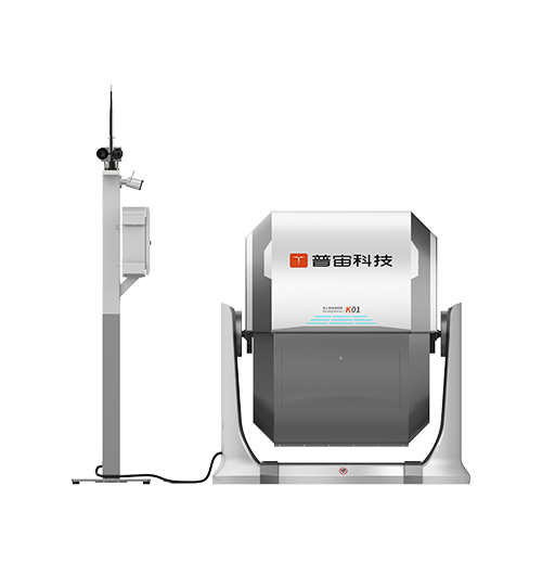
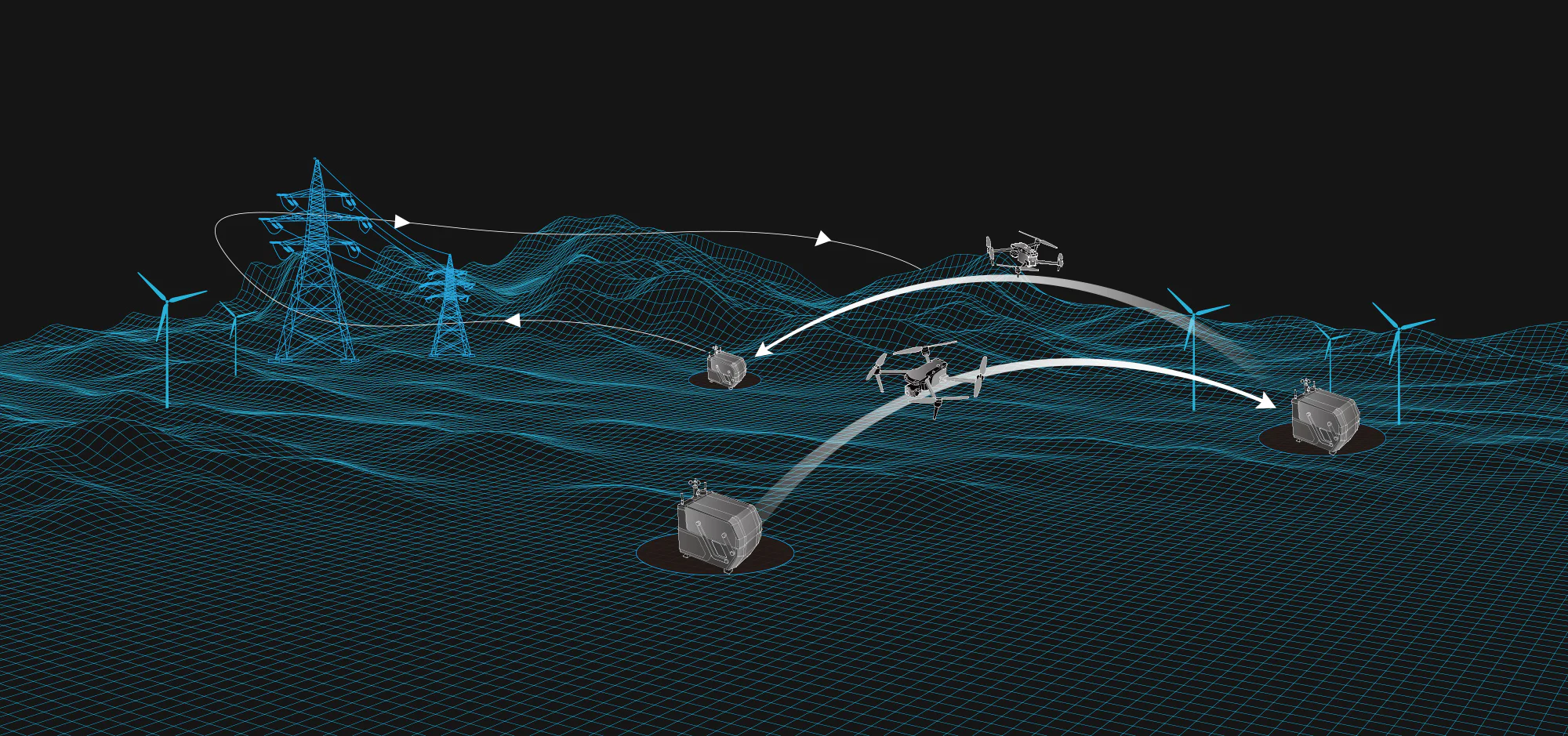
Beyond the Flight: The Role of Automated Infrastructure
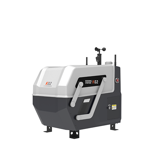
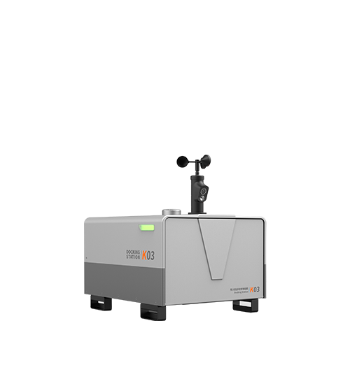
The next frontier for drones in firefighting is the "Drone-in-a-Box" (DiaB) or automated hangar system. These systems allow drones to be stationed permanently at fire stations or high-risk industrial zones.
When an alarm is triggered, the hangar opens automatically, and the drone launches to the GPS coordinates of the call. It arrives on-scene before the first truck, providing the dispatch center with a live feed of the situation. This pre-arrival intelligence allows teams to prepare the correct equipment—such as foam for chemical fires or specialized cutting tools—before they even step off the vehicle.
Technical Requirements for Firefighting UAVs
Not every drone is suitable for the rigors of the fire ground. Professional-grade equipment must meet specific engineering standards to be considered mission-ready:
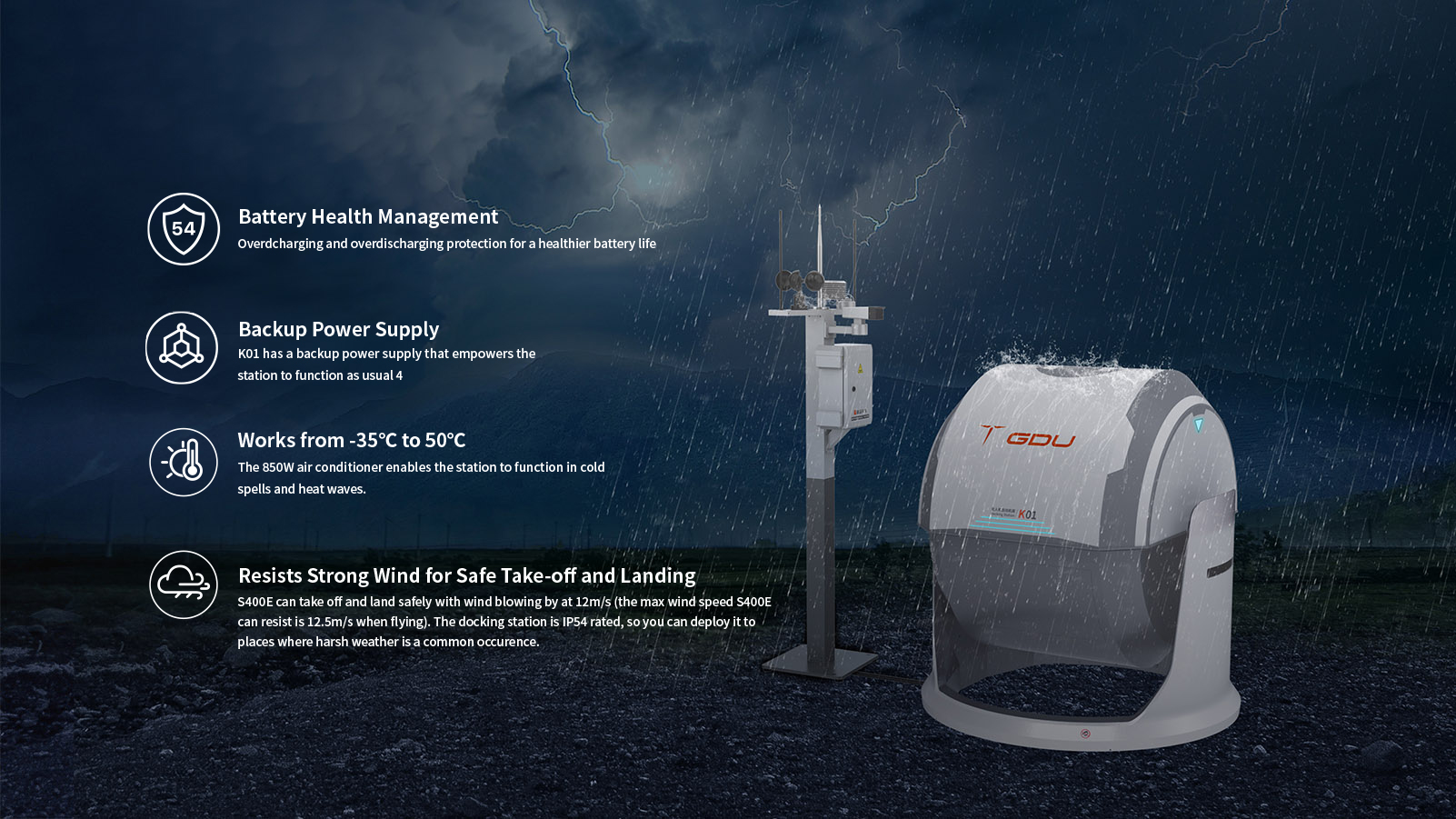
· Ingress Protection (IP) Rating: Firefighting often involves rain, high humidity, and water spray. An IP45 or higher rating is necessary to ensure the drone’s internal electronics do not fail in wet conditions.
· Electromagnetic Interference (EMI) Shielding: High-voltage power lines and industrial equipment can interfere with drone signals. Robust shielding ensures the link between the pilot and the aircraft remains stable.
· Transmission Range: For wildfires, a drone must be able to maintain a high-definition video link over several kilometers, even in areas with significant terrain obstruction.
· Flight Endurance: While small drones may only fly for around 20 minutes, enterprise platforms such as the GDU S400E can achieve up to 49 minutes of flight time under optimal conditions and feature efficient battery management systems to support continuous operations.
Enhancing Safety Through Data Integration
The real value of drones in firefighting is not just the video feed; it is the data integration. Modern UAV platforms feed information directly into Incident Command Software. This allows off-site experts—such as structural engineers or forestry specialists—to view the live feed and provide remote consultation.
By documenting every incident from the air, fire departments also create a powerful library of training material. Reviewing aerial footage of how a fire spread or how a tactical maneuver was executed provides invaluable insights for future recruits, fostering a culture of continuous improvement and safety.
FAQ
How do drones handle the high heat of a fire?
While drones do not typically fly into flames, industrial UAVs are designed to operate in high ambient temperatures. They maintain a safe standoff distance using high-powered zoom and thermal lenses. Specialized materials and internal cooling systems protect the sensors and flight controllers from the radiant heat of large blazes.
Can drones be used to actually extinguish fires?
In some specialized applications, drones can assist with fire suppression. However, most firefighting UAVs are primarily used for situational awareness, thermal inspection, and search-and-rescue operations rather than direct firefighting.
Are there legal restrictions for flying drones during an emergency?
In many regions, fire departments operate under specific "Public COA" (Certificate of Waiver or Authorization) rules. These allow professional pilots to fly in restricted airspace or at night during active emergencies. However, unauthorized civilian drones are strictly prohibited near fire zones as they pose a collision risk to manned firefighting aircraft.
What is the difference between optical and thermal zoom?
Optical zoom uses the camera lens to "move closer" to an object without losing image quality, which is great for inspecting roof damage. Thermal zoom—or high-resolution thermal imaging—allows the operator to see heat signatures with greater detail, helping to distinguish between a hot vent and an actual fire by analyzing surface temperature differences on walls.
Reference Sources
National Fire Protection Association (NFPA) 2400: Standard for Small Unmanned Aircraft Systems (sUAS) used for Public Safety Operations.
International Association of Fire Chiefs (IAFC): Technology Council reports on UAV integration in emergency services.
Federal Aviation Administration (FAA) Part 107: Regulations for non-hobbyist small unmanned aircraft operations.
ASTM International F38 Committee: Standards for unmanned aircraft system design and performance.

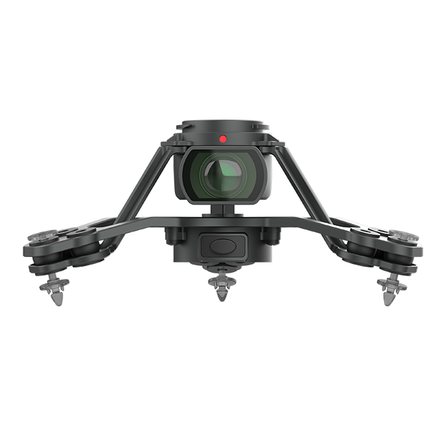
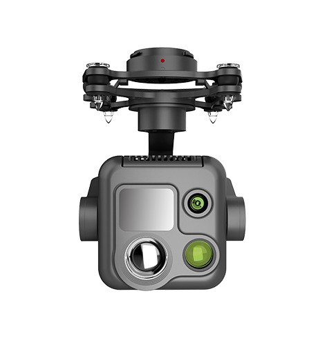 PQL02 Compact Quad-sensor Camera
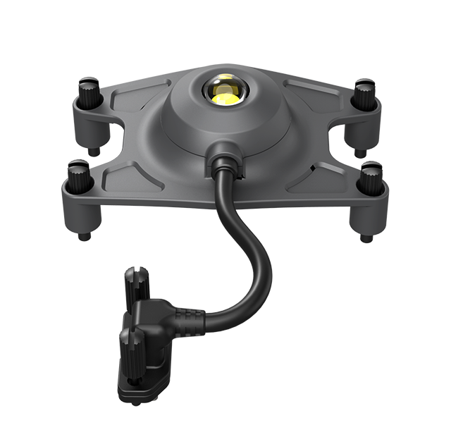
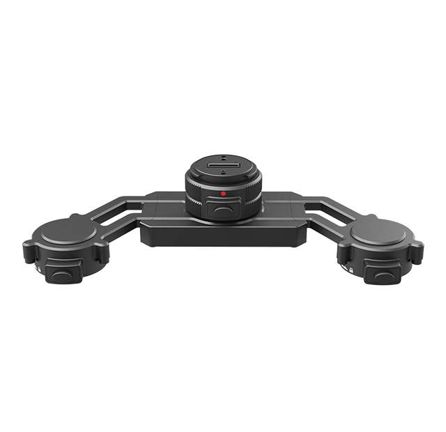
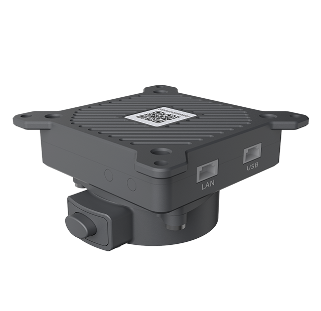 AGA01 Payload Adapter
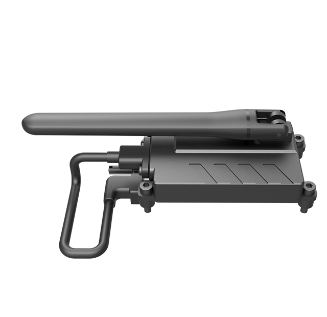
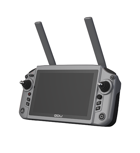 GDU RC SEE Smart Remote Controller