Drones for Surveillance: A Professional Guide to Aerial Security
2026-07-15
Origin:GDU-Tech
The landscape of modern security is shifting from static, ground-based observation to dynamic, multi-dimensional intelligence. For security directors, industrial site managers, and emergency responders, the integration of Unmanned Aerial Vehicles (UAVs) has transformed situational awareness from a reactive process into a proactive strategy.
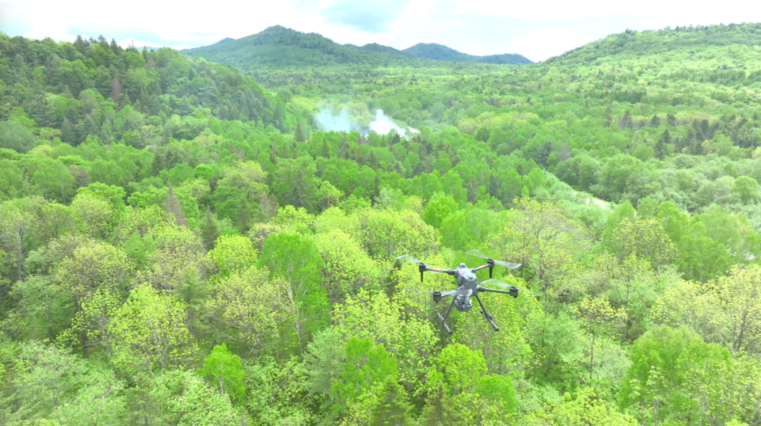
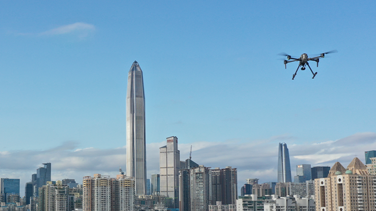
Drones for surveillance provide a unique vantage point, bridging the gap between fixed CCTV networks and expensive manned aviation. By deploying professional-grade platforms, organizations can monitor vast perimeters, track moving assets, and inspect hazardous environments without putting human personnel at risk.
Understanding the Mechanics of Aerial Surveillance Drones
At its core, a surveillance UAV is more than just a flying camera. It is a sophisticated, edge-computing data platform. Unlike consumer drones, enterprise-grade systems are designed for high-duty cycles, data security, and payload versatility.
Professional systems typically consist of three primary components:
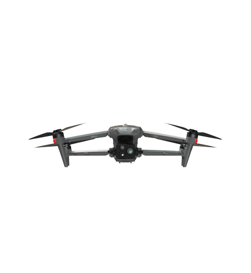
The Flight Platform: Designed for stability, industrial-grade long endurance (up to 63 minutes), and weather resistance (IP45 or higher).
The C2 Link (Command and Control): Secure, low-latency transmission systems that ensure high-definition video feeds are relayed to a ground control station in real-time over extended ranges (up to 15 km).
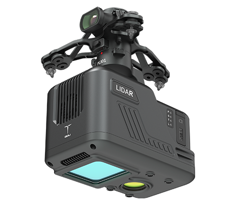
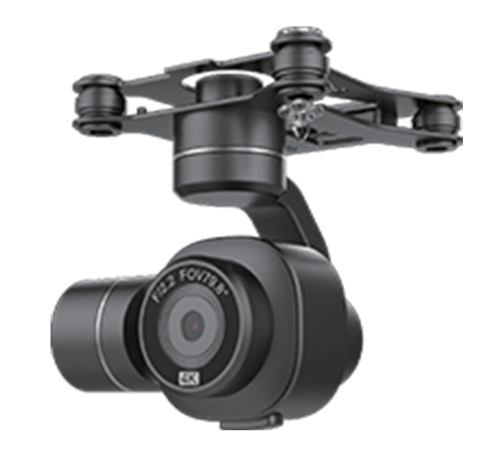
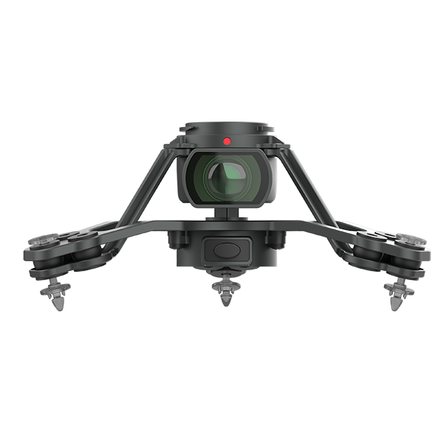
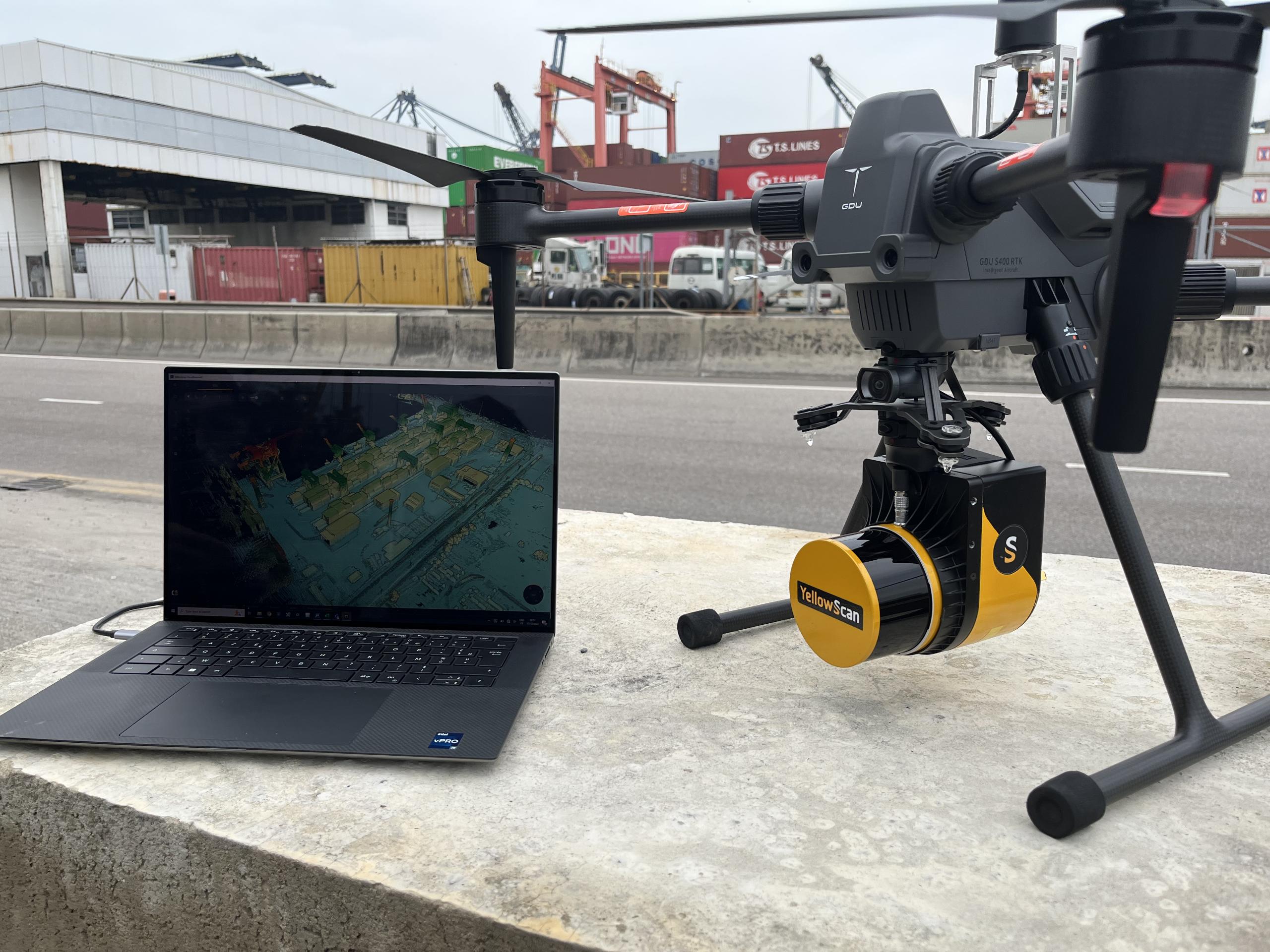
The Mission Payload: The sensors—thermal, optical, or LiDAR—that determine the drone's specific surveillance capability.
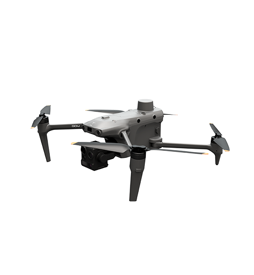
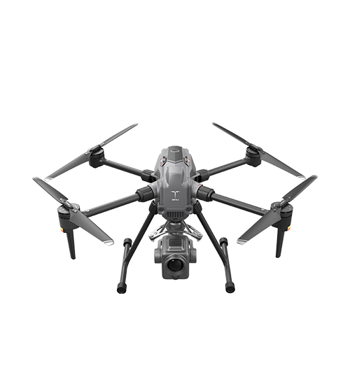
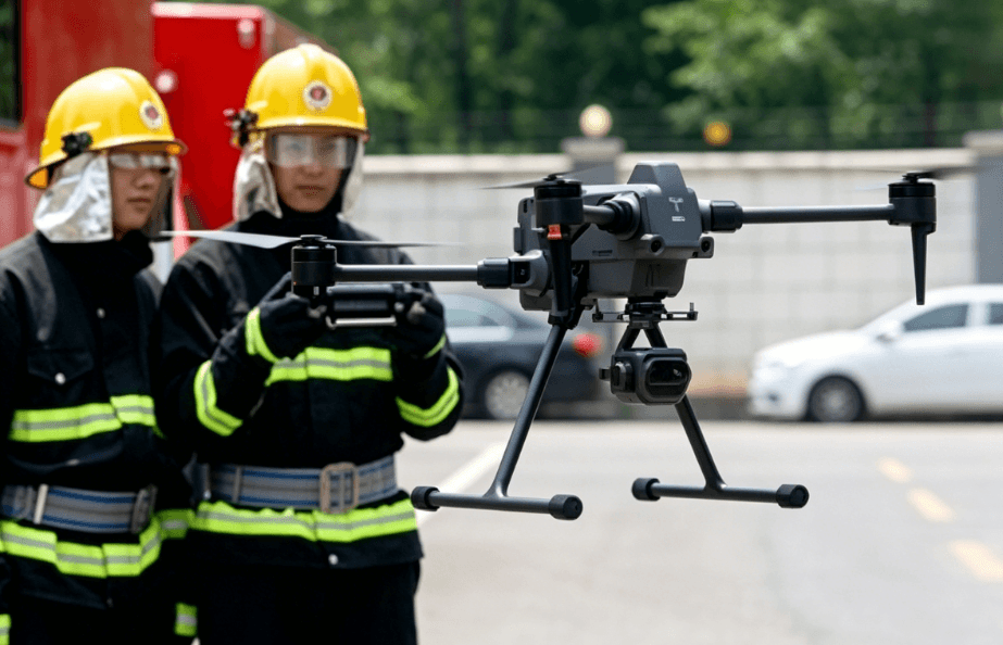
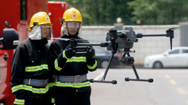
Platforms like the GDU S400e exemplify this professional evolution. These quadrotors utilize a foldable design for rapid deployment while maintaining the structural integrity required to carry heavy, multi-sensor gimbals, supporting a maximum payload capacity of up to 3 kg and dual-mount configurations.
Essential Sensor Payloads for Security Operations
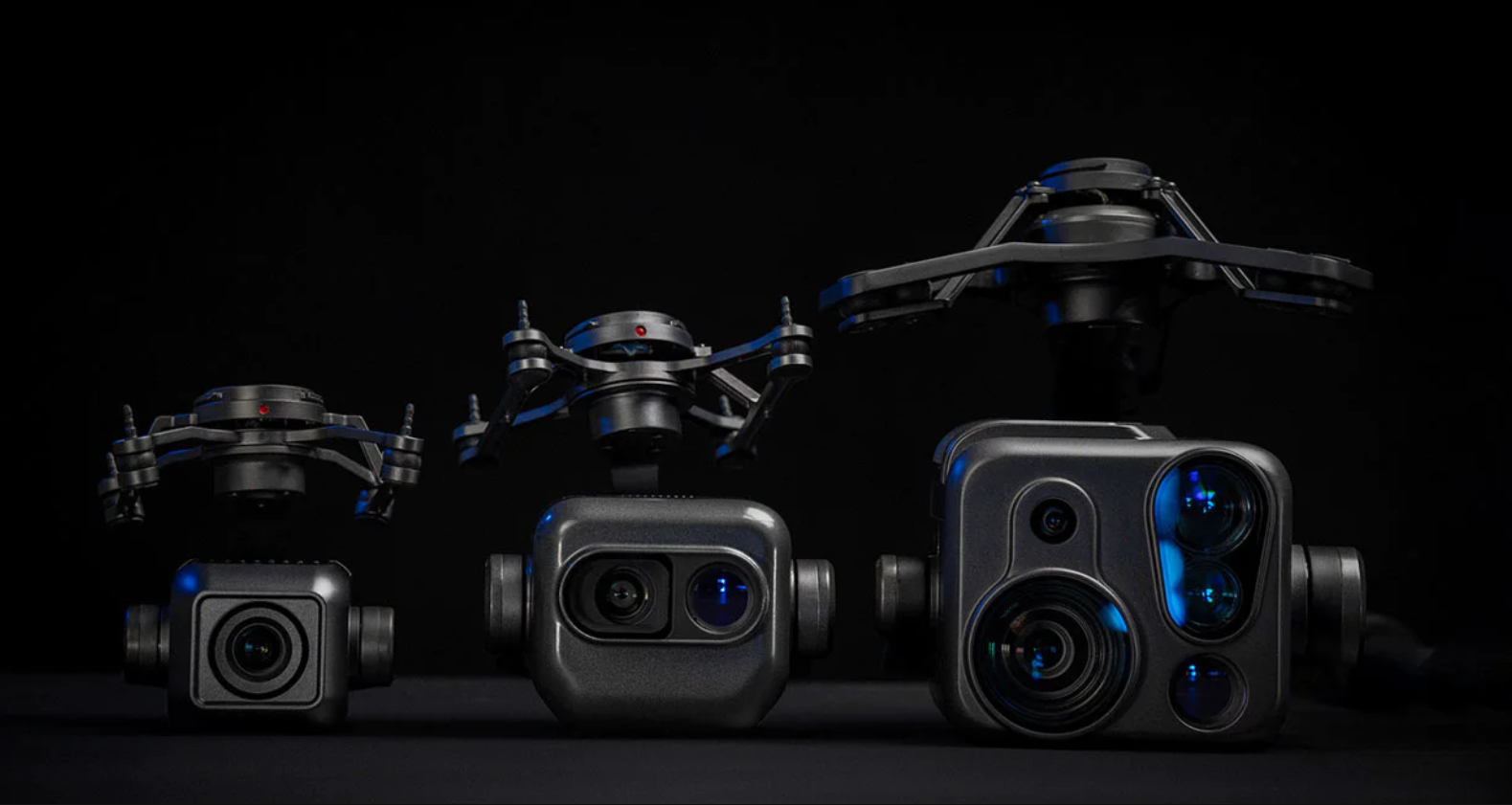
The effectiveness of drones for surveillance is largely determined by the "eyes" they carry. Professional security operations rarely rely on a single sensor; instead, they utilize interchangeable or multi-sensor payloads to adapt to changing light and atmospheric conditions.
Sensor Type
Primary Function
Ideal Use Case
EO (Electro-Optical)
High-resolution daylight imagery (up to 8K/48MP).
Identifying personnel, license plates, and structural defects.
LWIR (Thermal Imaging)
Detecting heat signatures (up to 1280×1024 resolution).
Nighttime patrolling, search and rescue, and fire detection.
High-Magnification Zoom
Long-range observation and target tracking.
Discreet surveillance without alerting the subject.
Laser Rangefinder (LRF)
Precise coordinate acquisition and distance measurement.
Mapping incident locations for emergency response teams.
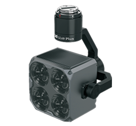
For instance, when a drone is equipped with an integrated quad-sensor payload—combining a high-magnification zoom lens, an ultra-high-resolution thermal sensor, and a laser rangefinder—it can identify a person and pinpoint precise coordinates from over a kilometer away. When paired with a thermal sensor, it can detect the heat signature of a hidden intruder in total darkness or through dense foliage, providing a level of "persistent stare" and AI target recognition that ground guards simply cannot match.
Strategic Applications in Industrial and Public Safety
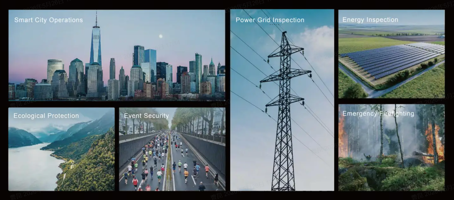
Drones for surveillance are no longer niche tools; they are essential infrastructure in several high-stakes sectors.
Perimeter and Border Security
Fixed sensors and fences are vulnerable to "blind spots". UAVs can be programmed to perform autonomous "waypoint" patrols along a perimeter. If a fence sensor is tripped, the drone can automatically launch and reach the location faster than a ground vehicle, providing immediate visual verification of the threat.
Critical Infrastructure Inspection
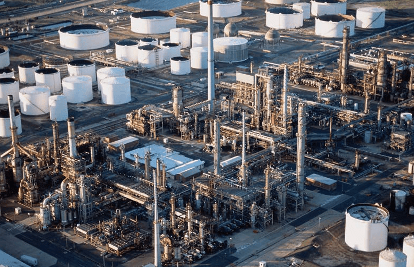
Power plants, oil refineries, and substations often cover hundreds of acres. Drones allow security teams to monitor these sites for both security breaches and mechanical failures (such as gas leaks or overheating transformers) using specialized gas sensors, thermal cameras, and onboard AI edge-computing modules.
Large-Scale Event Monitoring
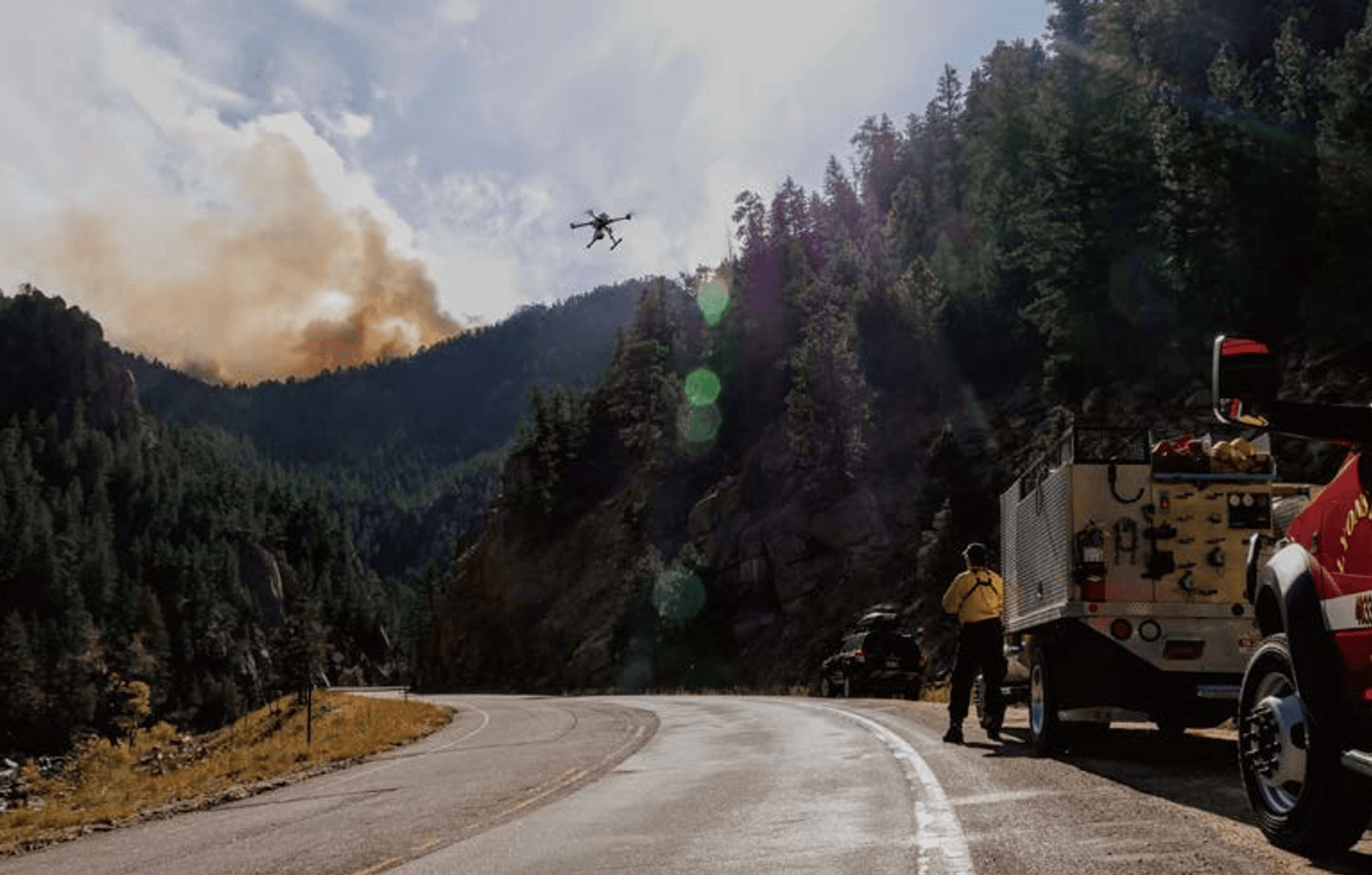
Managing crowds at stadiums or public protests requires a macro view to identify "choke points" or emerging safety risks. Drones provide a tethered or free-flying "eye in the sky" that can remain airborne for hours, streaming data directly to a mobile command center or a centralized cloud platform.
The Rise of "Drone-in-a-Box" and Automation
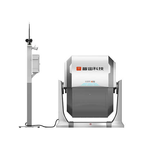
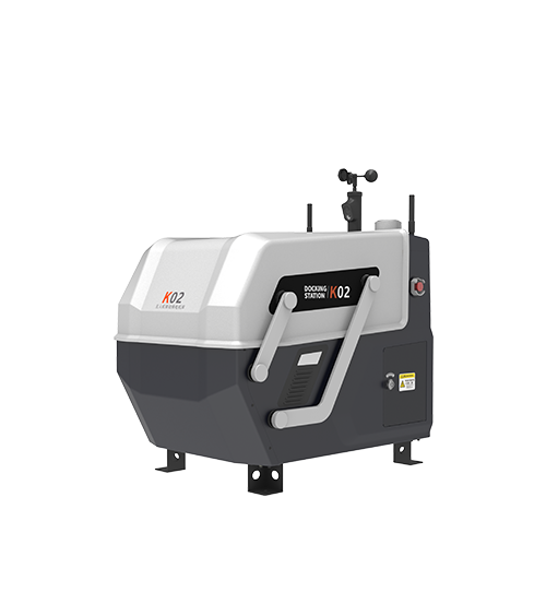
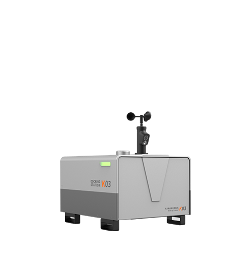
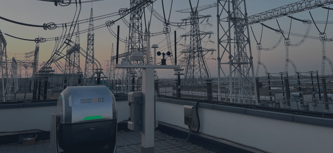
The next frontier in surveillance is the removal of the human pilot from the immediate loop. Automated docking stations, such as the GDU K01, allow drones to live on-site in a weather-proof enclosure.
This "Drone-in-a-Box" (DiaB) concept enables:
Scheduled Autonomy: The drone launches, flies a pre-programmed route, and returns to charge without human intervention.
All-Weather Resilience: Featuring a unique barrel-shaped roll-top cover to shed foreign objects and a built-in industrial climate control system, docks like the GDU K01 operate reliably in extreme environments ranging from -35°C to +50°C.
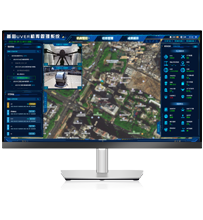
Remote Operations via Cloud: A security officer in a central command center hundreds of miles away can monitor flights, manage automated pre-flight checks, and take manual control via cloud platforms (such as the UVER system) if an anomaly is detected.
24/7 Readiness: By utilizing automated charging, the system ensures the drone is always ready for immediate dispatch.
Technical Considerations for Enterprise Deployment
When evaluating drones for surveillance, engineering and procurement teams must look beyond flight time. Several technical factors dictate the ROI of the system:
Ingress Protection (IP Rating): Surveillance does not stop for rain. A professional UAV should have at least an IP45 rating to operate in inclement weather, and the docking station should offer robust weatherproof housing.
Transmission Security: For government and high-security industrial sites, data encryption (AES-256) and a sovereign data path are mandatory to prevent signal hijacking or data leaks.
Obstacle Avoidance: Multi-directional vision sensors and millimeter-wave radar are critical when flying in complex industrial environments with power lines, cranes, or scaffolding.
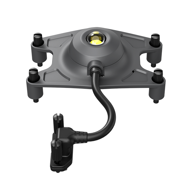
Payload Swapping & Integration: The ability to switch from a megaphone (for public address) to a searchlight or a thermal camera within seconds increases the tactical utility of a single airframe.
Integration with Existing Security Ecosystems
Modern surveillance drones are not intended to replace existing CCTV or VMS (Video Management Systems); they are intended to extend them. Professional platforms support SDKs (Software Development Kits) that allow the aerial video feed and telemetry to be integrated directly into a centralized security dashboard (e.g., Milestone or Genetec). This allows for a unified "Common Operational Picture" where ground cameras and aerial assets are managed through a single, seamless interface.
FAQ
1. Are drones for surveillance legal for private security?
In most jurisdictions, including the US (FAA) and Europe (EASA), drones can be used for private security provided the operator holds the necessary certifications (e.g., Part 107 in the US) and complies with privacy laws regarding the filming of people in public spaces.
2. Can surveillance drones fly in high winds?
Professional quadrotors like the GDU S400e are engineered for wind resistance up to Level 7 (approx. 12–15 m/s). However, flight stability and battery efficiency will decrease as wind speeds approach the platform's maximum threshold.
3. How do drones handle night surveillance?
Night operations are handled via LWIR (Long-Wave Infrared) thermal sensors. These do not require ambient light to function; they detect the infrared radiation emitted by objects, making them highly effective for spotting humans or vehicles in total darkness.
4. What is the typical operational range of a surveillance drone?
While many enterprise drones like the GDU S400e feature an extended transmission range of up to 15 km, operational range is usually limited by battery life, mission payloads, and "Line of Sight" (LOS) or BVLOS regulations. Most missions occur within a 3–5km radius of the take-off point.
5. How does weather affect drone surveillance?
While enterprise drones are built to handle light rain and snow, extreme weather (hail, high-velocity winds, or heavy lightning) usually requires the aircraft to be grounded. Professional docks (DiaB) include integrated weather stations (measuring wind, rainfall, and humidity) to prevent the drone from launching in unsafe conditions.
Reference Sources
IEEE Xplore: "Autonomous UAVs for Perimeter Security and Surveillance: A Review of Current Technologies." ieee.org
ASTM International: F38 Committee on Unmanned Aircraft Systems - Standards for flight safety and security. astm.org
FAA (Federal Aviation Administration): Part 107 rules for small Unmanned Aircraft Systems. faa.gov
SGS Certification: General requirements for IP (Ingress Protection) testing for industrial electronics. sgs.com
GDU Tech: S400 Enterprise Drone Technical Specifications and K01 Automated Docking Station Documentation. gdutech.com


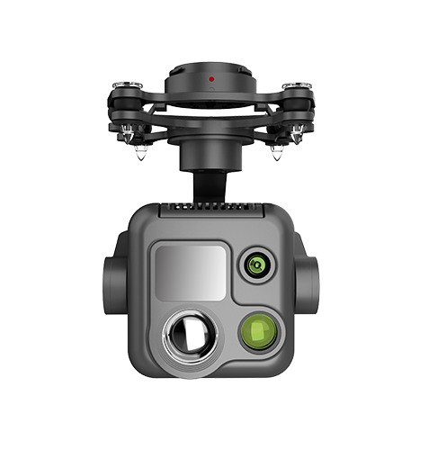 PQL02 Compact Quad-sensor Camera
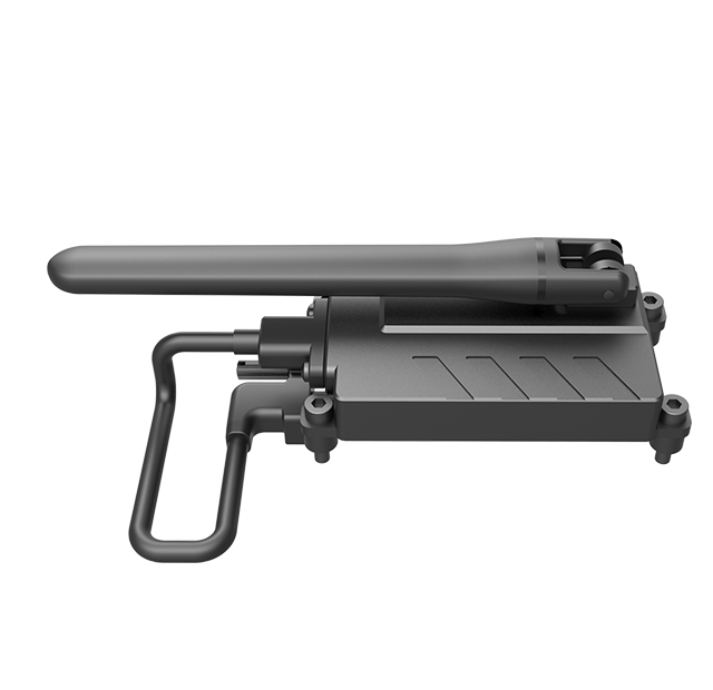
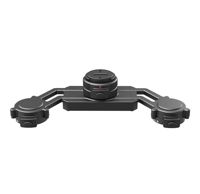
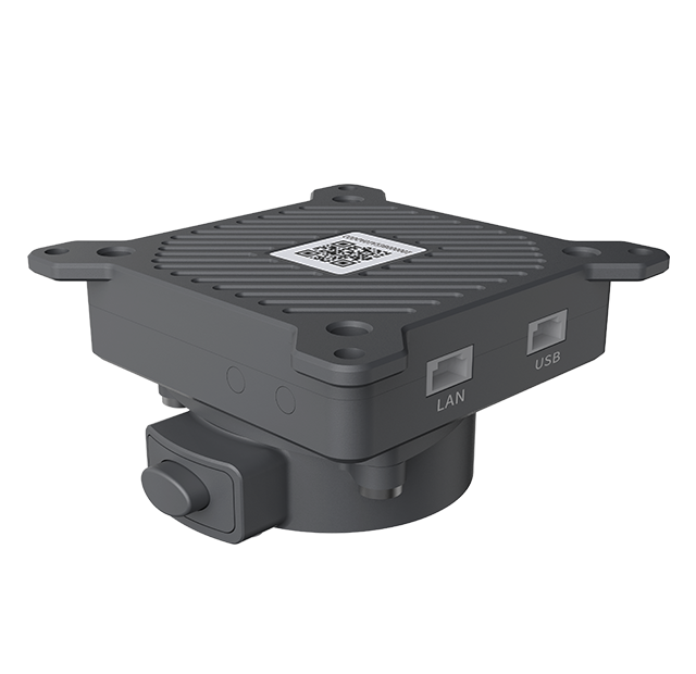 AGA01 Payload Adapter
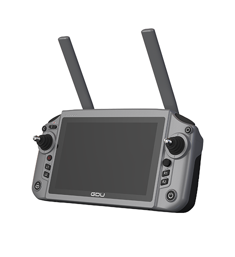 GDU RC SEE Smart Remote Controller