Drones for Environmental Monitoring: A Technical Guide to Use Cases and Benefits
2026-08-18
Origin:GDU-Tech
The integration of Unmanned Aerial Vehicles (UAVs) into environmental science has shifted the paradigm from periodic, labor-intensive ground surveys to high-frequency, high-precision digital oversight. Environmental monitoring requires data collection across vast, inaccessible terrains. For many inspection tasks requiring centimeter-level detail, even high-resolution satellite imagery may not suffice, while manned aircraft remain cost-prohibitive.
By leveraging drones for environmental monitoring, organizations can capture high-resolution centimeter-level imagery and temporal data that was previously unattainable. This guide examines the technical mechanisms, primary benefits, and real-world applications of professional UAV systems in ecological preservation and resource management.
The Technical Foundation of Aerial Environmental Data
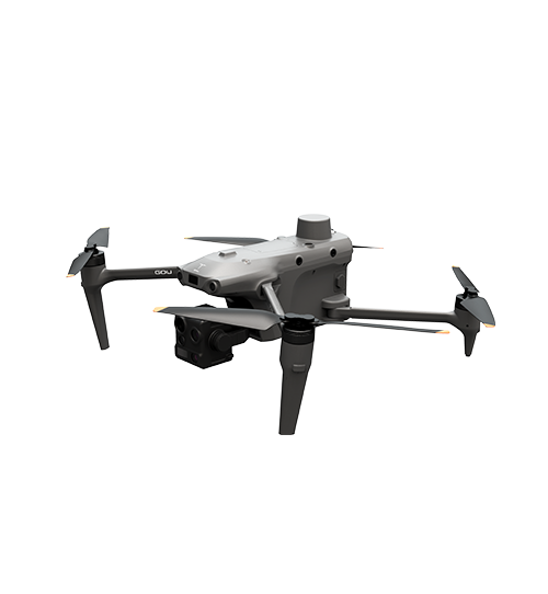
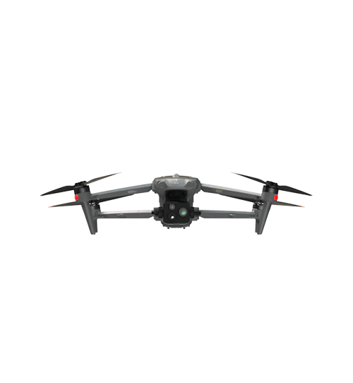
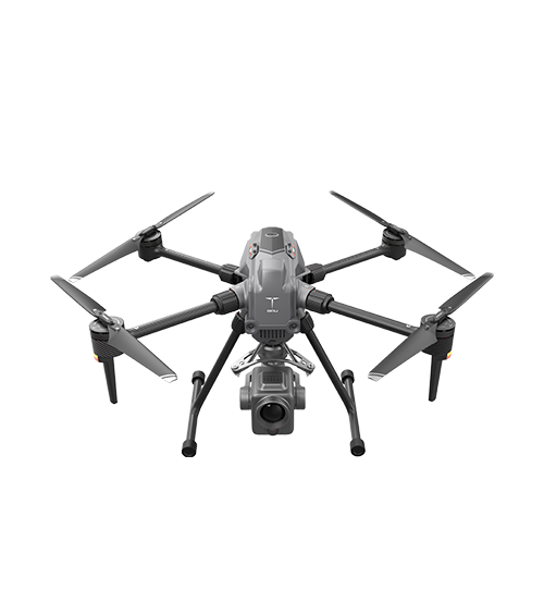
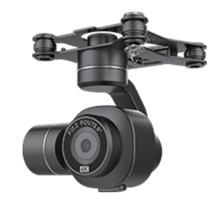
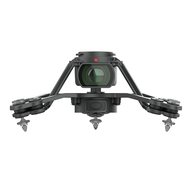
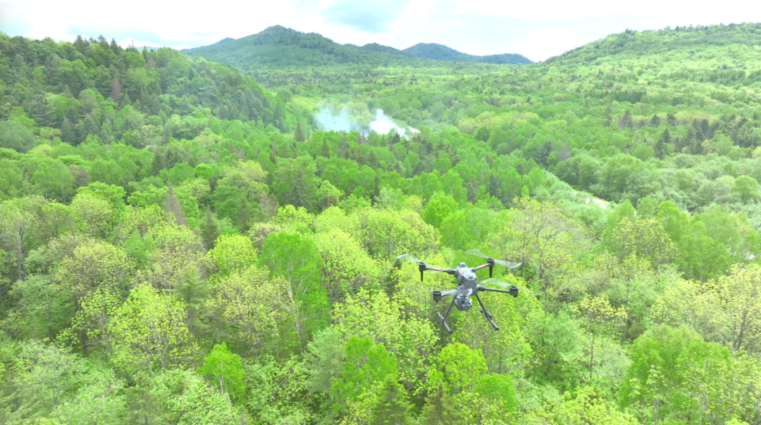
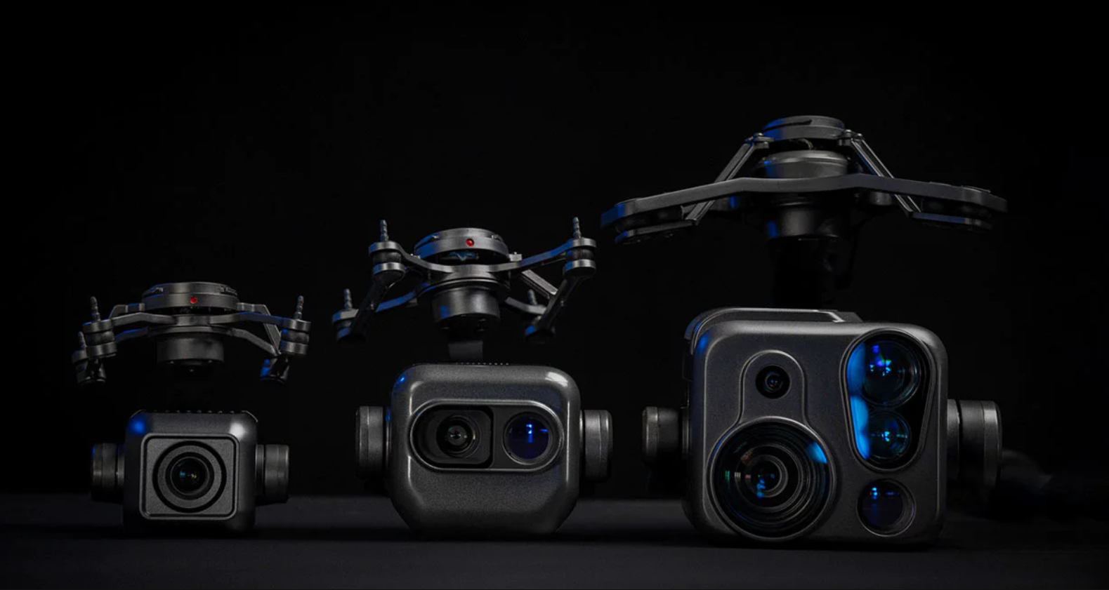
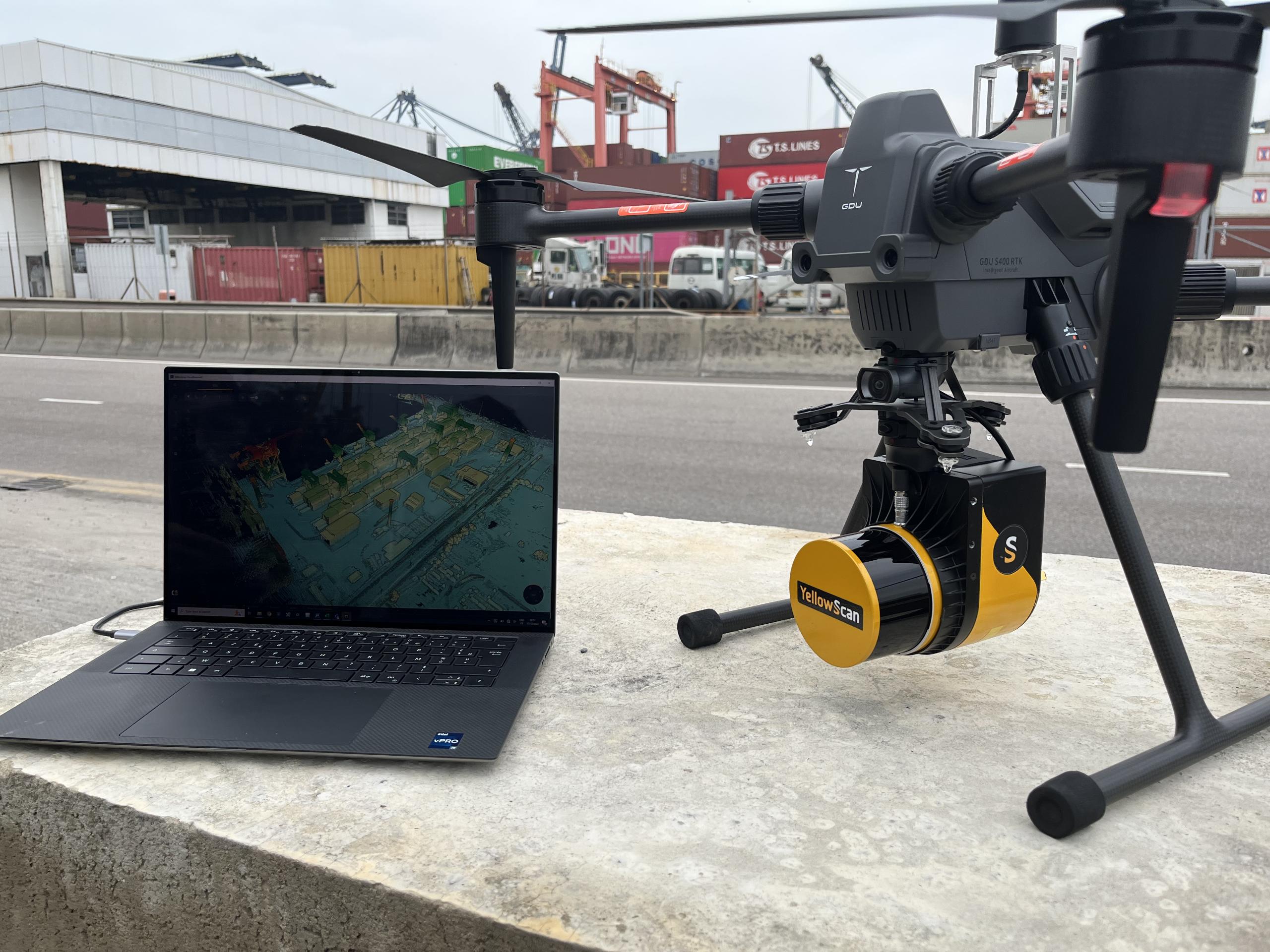
To understand the impact of drones, one must look at the payload-to-platform synergy. A professional UAV is not merely a flying camera; it is a sophisticated edge-computing data collection node. Modern industrial drones, such as the flagship GDU S400e, utilize modular gimbal systems that allow researchers to swap sensors based on specific environmental objectives.
Multispectral and Hyperspectral Sensors: These capture light beyond the visible spectrum, specifically the Near-Infrared (NIR) and Red Edge bands. This data is essential for calculating the Normalized Difference Vegetation Index (NDVI), which indicates plant health and chlorophyll levels.
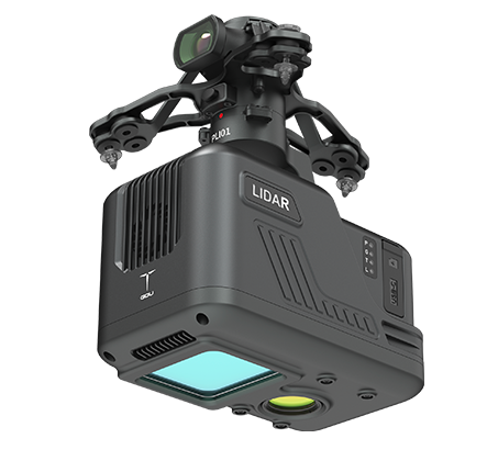
LiDAR (Light Detection and Ranging): LiDAR can generate terrain models beneath forest canopies through multiple laser returns. This is critical for measuring "fuel load" in wildfire prevention and calculating accurate forest biomass.
Thermal Imaging: Long-wave infrared (LWIR) sensors detect heat signatures. This is used for wildlife tracking at night and identifying thermal pollution in water bodies.
High-Resolution RGB: For photogrammetry, creating 2D orthomosaic maps and 3D digital twin models of changing landscapes.
Core Benefits of Drones for Environmental Monitoring
The adoption of UAV technology provides four distinct advantages over traditional methodologies:
Feature
Traditional Ground Surveys
Satellite Imagery
Professional UAVs
Spatial Resolution
High (but localized)
Low to Medium (30cm - 30m)
Ultra-High (1cm - 5cm)
Temporal Flexibility
Low (logistics heavy)
Fixed Orbit (weather dependent)
On-demand Deployment
Safety Risk
High (rugged terrain)
None
Minimal (remote operation)
Data Depth
Manual/Subjective
Multi-band Spectral
Multi-sensor Integration
1. Precision and Spatial Resolution
While satellites are excellent for continental-scale shifts, they often struggle with "cloud cover" and lack the Ground Sample Distance (GSD) required to identify individual species or small-scale erosion. Drones fly below the clouds, providing crystal-clear imagery that allows for the identification of specific invasive plant species or micro-fissures in a dam.
2. Cost-Efficiency in Remote Operations
Deploying a team of ecologists into a wetland for two weeks is expensive and logistically complex. A single operator with a high-endurance UAV can significantly reduce field time. For instance, platforms with folding designs and lightweight composite frames allow researchers to carry the equipment in standard backpacks to remote locations, reducing the need for heavy transport vehicles.
3. Safety in Hazardous Environments
Monitoring volcanic activity, post-flood erosion, or industrial chemical leaks poses significant risks to human life. Drones act as the "first eyes" on the scene, providing real-time telemetry and gas sensing without exposing personnel to toxic fumes or unstable ground.
Critical Use Cases in Modern Ecology
Forestry and Carbon Sequestration
In the context of global climate goals, accurate forest inventory is vital. Drones equipped with LiDAR can enable individual tree detection and forest inventory analysis and their heights. This data is converted into biomass volume to estimate forest biomass and support carbon stock assessment. Furthermore, early detection of pest infestations is possible by identifying "stress signatures" in the canopy via multispectral imaging before the damage is visible to the naked eye.
Wildlife Conservation and Anti-Poaching
Drones have become a deterrent against poaching in vast national parks. Thermal sensors can detect the heat signatures of humans and animals in total darkness. Beyond security, they allow for non-invasive population counts of endangered species. Unlike helicopters, small electric UAVs have a low acoustic footprint, meaning they can observe animals without causing behavioral stress or flushing.
Coastal and Marine Monitoring
Coastal erosion is a dynamic process that requires frequent mapping. Drones generate high-definition 3D models of shorelines to track sand displacement after storm events. In marine environments, drones are used to monitor whale migrations or detect illegal fishing activities, providing high-resolution video evidence that can be used in legal proceedings.
Disaster Response and Impact Assessment
Following a natural disaster, such as a hurricane or earthquake, environmental monitoring becomes a matter of public safety. Drones provide rapid situational awareness, identifying breached levees or fallen power lines. In the aftermath, they help quantify the environmental damage, such as the volume of debris or the extent of oil spills in coastal waters.
Technical Constraints and Implementation Logic
While the benefits are significant, successful implementation requires an understanding of professional constraints:
Ingress Protection (IP Ratings): Environmental monitoring often happens in sub-optimal weather. An industrial drone should ideally have an IP45 or higher rating to withstand light rain and dust, ensuring the electronics remain functional in humid or coastal environments.
Transmission Stability: In mountainous or heavily forested areas, signal interference is common. Reliable systems utilize frequency-hopping technology to maintain a stable HD video link over long distances (often up to 10km-15km).
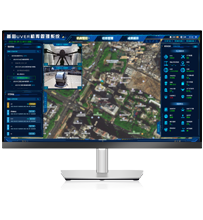
Data Processing Pipelines: Collecting the data is only 50% of the task. Professional workflows involve processing raw data through software like Pix4D to create actionable 3D clouds or NDVI maps. GDU’s UVER Intelligent Platform can support the data analysis by AI and decision making.
Strategic Integration for Environmental Agencies
For agencies looking to scale their monitoring capabilities, selecting the right hardware is a balance of flight time, payload capacity, and ease of deployment. Professional systems like the GDU UAV platforms emphasize modularity and multi-sensor simultaneous mounting capabilities. The ability to switch from a high-zoom camera for wildlife observation to a thermal sensor for fire monitoring on the same airframe maximizes the Return on Investment (ROI) for environmental programs.
As regulatory frameworks like the FAA's Part 107 in the US or EASA regulations in Europe continue to evolve, the path for automated, long-range environmental "patrols" is becoming clearer. The transition to Beyond Visual Line of Sight (BVLOS) operations will further enhance the ability of drones to protect and monitor our planet’s most fragile ecosystems.
FAQ
Q: What is the typical flight time for a drone used in environmental monitoring?
A: Most professional-grade quadcopters offer 30 to 45 minutes of flight time per battery. Heavy-lift or specialized long-endurance platforms can extend this, but the industry standard focuses on "swappable" batteries to maintain continuous field operations.
Q: How accurate is drone data compared to traditional surveying?
A: When equipped with RTK (Real-Time Kinematic) modules, drones can achieve horizontal accuracy of 1-3 cm. This is comparable to traditional land surveying but covers significantly more ground in less time.
Q: Do I need a special license to use drones for environmental research?
A: In many jurisdictions, research or other non-recreational operations are regulated separately from recreational flying and may require certification depending on local regulations.
Reference Sources
IEEE Xplore: Applications of Unmanned Aerial Vehicles in Environmental Monitoring and Management.
ASTM International: Standard Guide for Using UAVs for Environmental Site Characterization.
Journal of Unmanned Vehicle Systems: Technical standards for LiDAR accuracy in forestry applications.
Conservation Drones (Organization): Best practices for non-invasive wildlife monitoring.


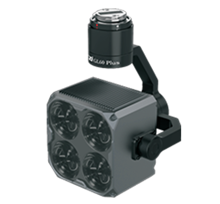
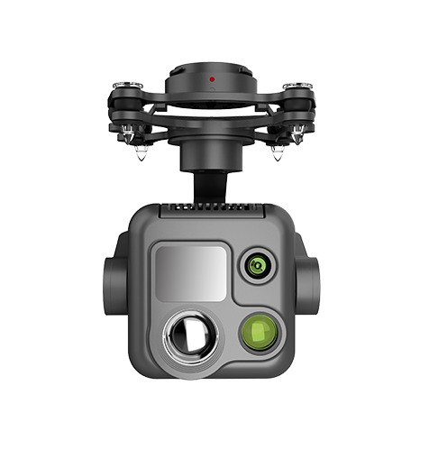 PQL02 Compact Quad-sensor Camera
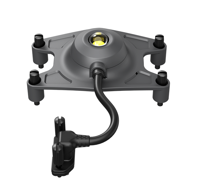
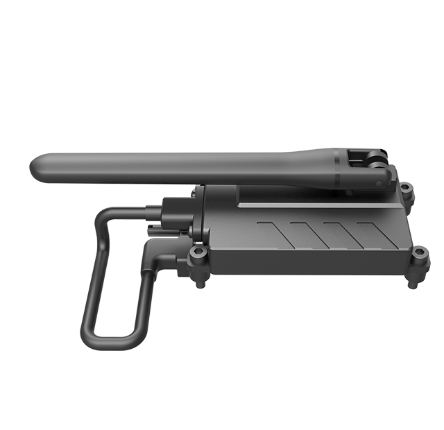
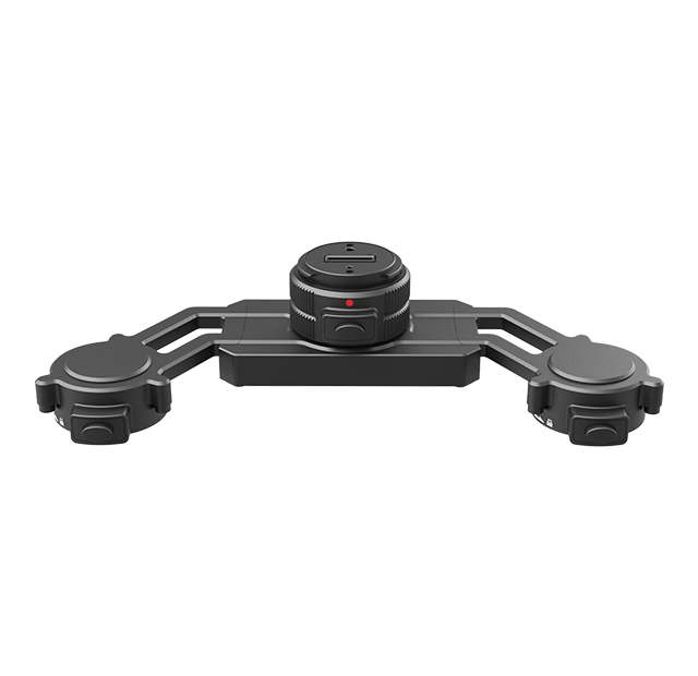
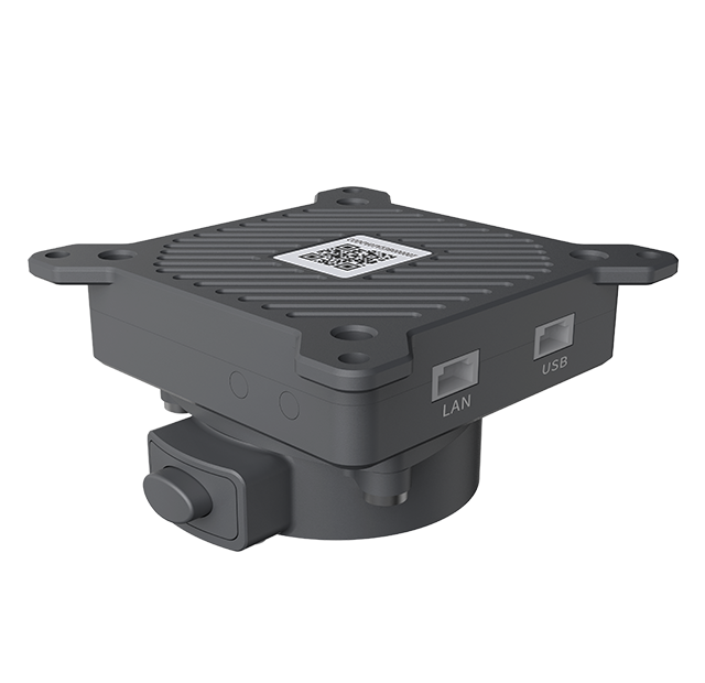 AGA01 Payload Adapter
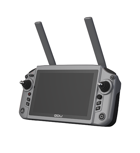 GDU RC SEE Smart Remote Controller