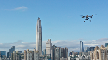
The global industrial landscape is undergoing a massive digital transformation. Central to this shift is the deployment of diverse types of UAV for complex tasks. These aerial platforms provide high-resolution data and enhance worker safety.
They now feature advanced RTK positioning, AI-powered obstacle avoidance, thermal imaging integration. Industries like energy, construction, and agriculture utilize these tools to improve UAV inspection efficiency.
Choosing the right platform is critical for mission success. Each configuration offers specific benefits for different environmental challenges. Understanding these distinctions ensures that organizations invest in the most effective technology for their needs.
Primary types of UAV in the 2026 industrial market
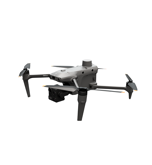
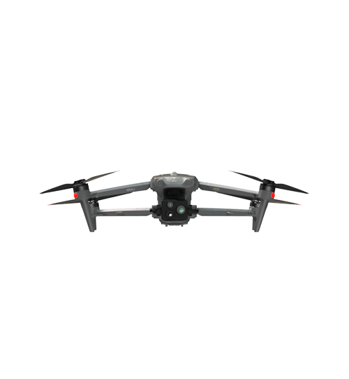
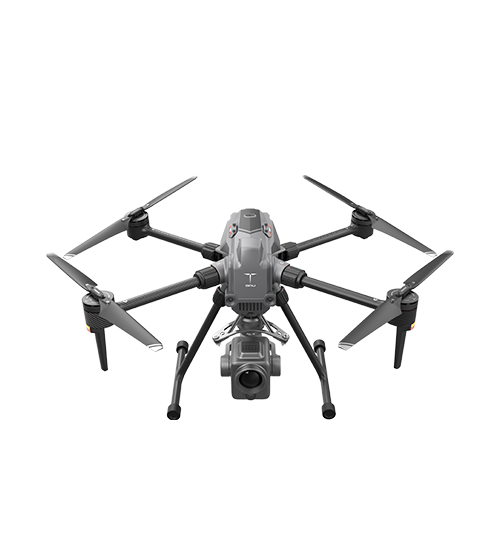
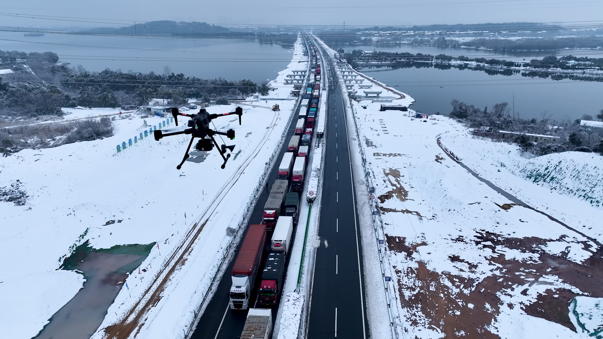
The current market classifies drones based on their wing design and propulsion. Multi-rotor drones remain the most popular for close-range stability. They utilize four to eight rotors to achieve precise hovering in tight spaces.
Fixed-wing UAVs are designed like airplanes for high-speed, long-distance travel. They provide the highest energy efficiency for mapping thousands of acres. However, they typically require runways or specialized launchers for takeoff and landing.
VTOL (Vertical Take-Off and Landing) systems are the fastest-growing segment in the industry. These hybrid drones combine the vertical launch of a multi-rotor with the endurance of a fixed-wing. They are a primary choice for a long-range industrial drone in rugged terrain.
UAV Type | Flight Endurance | Key Technical Advantage | Typical Use Case |
Multi-rotor | 30–55 Minutes | Precise Hovering | Wind turbine inspection |
Fixed-wing | 60–150+ Minutes | Maximum Range | Large-scale Mapping |
VTOL Hybrid | 60–120 Minutes | No Runway Required | Forest & Mountain Patrol |
Single-rotor | 45–90 Minutes | High Lifting Capacity | High-altitude logistics |
Enhancing UAV inspection efficiency in energy and infrastructure
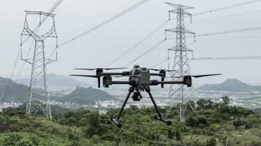
In the energy sector, drones have redefined maintenance protocols. Companies use multi-rotor units for detailed wind turbine inspection tasks. These drones can detect hairline cracks on blades without requiring technicians to climb.
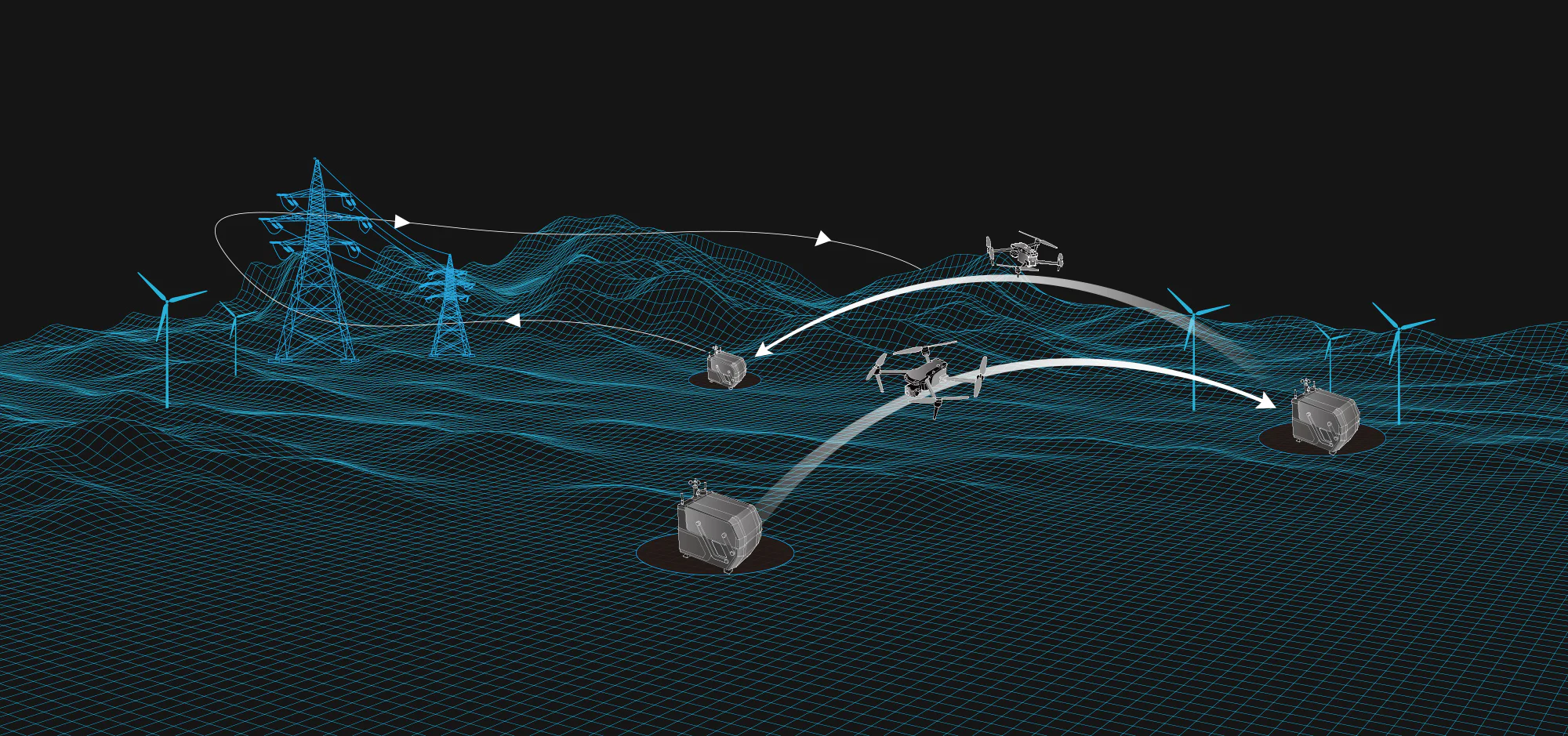
Power line stringing is another high-value application for modern heavy-lift drones. Specialized UAVs pull pilot cables across difficult terrain or water bodies. This method is significantly safer and faster than using manned helicopters.
For the oil and gas industry, long-range industrial drone models monitor pipelines for leaks. These aircraft use thermal sensors to identify temperature gradients in buried pipes. Such proactive monitoring prevents environmental disasters and reduces operational downtime.
Technical superiority: RTK drone for mapping and precision
High-precision positioning is mandatory for modern industrial applications. An RTK drone for mapping utilizes Real-Time Kinematic satellite data to reach centimeter-level accuracy. This technology significantly reduces the need for numerous ground control points.
While RTK technology ensures centimeter-level positioning accuracy, it works with propulsion systems for execution. Strong motors and advanced flight algorithms allow the drone to stay on course. This combination is essential for creating digital twins of construction sites.
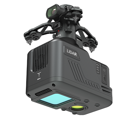
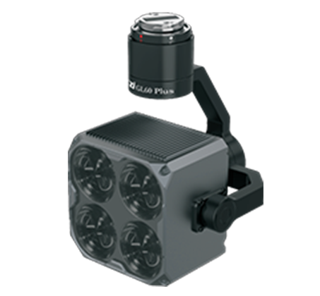
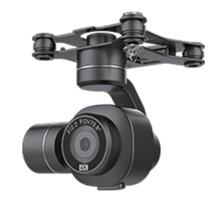
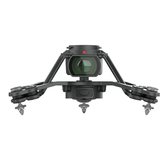
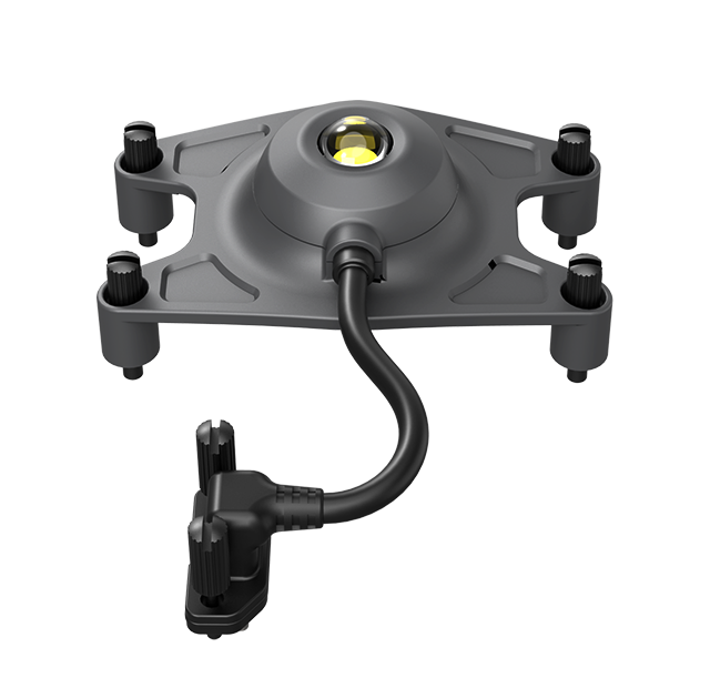
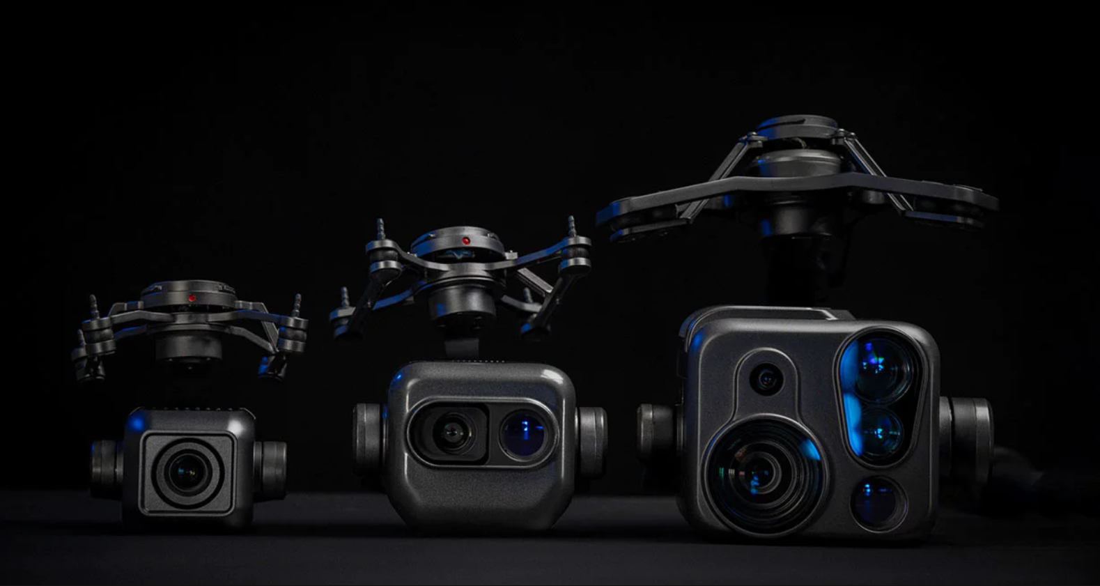
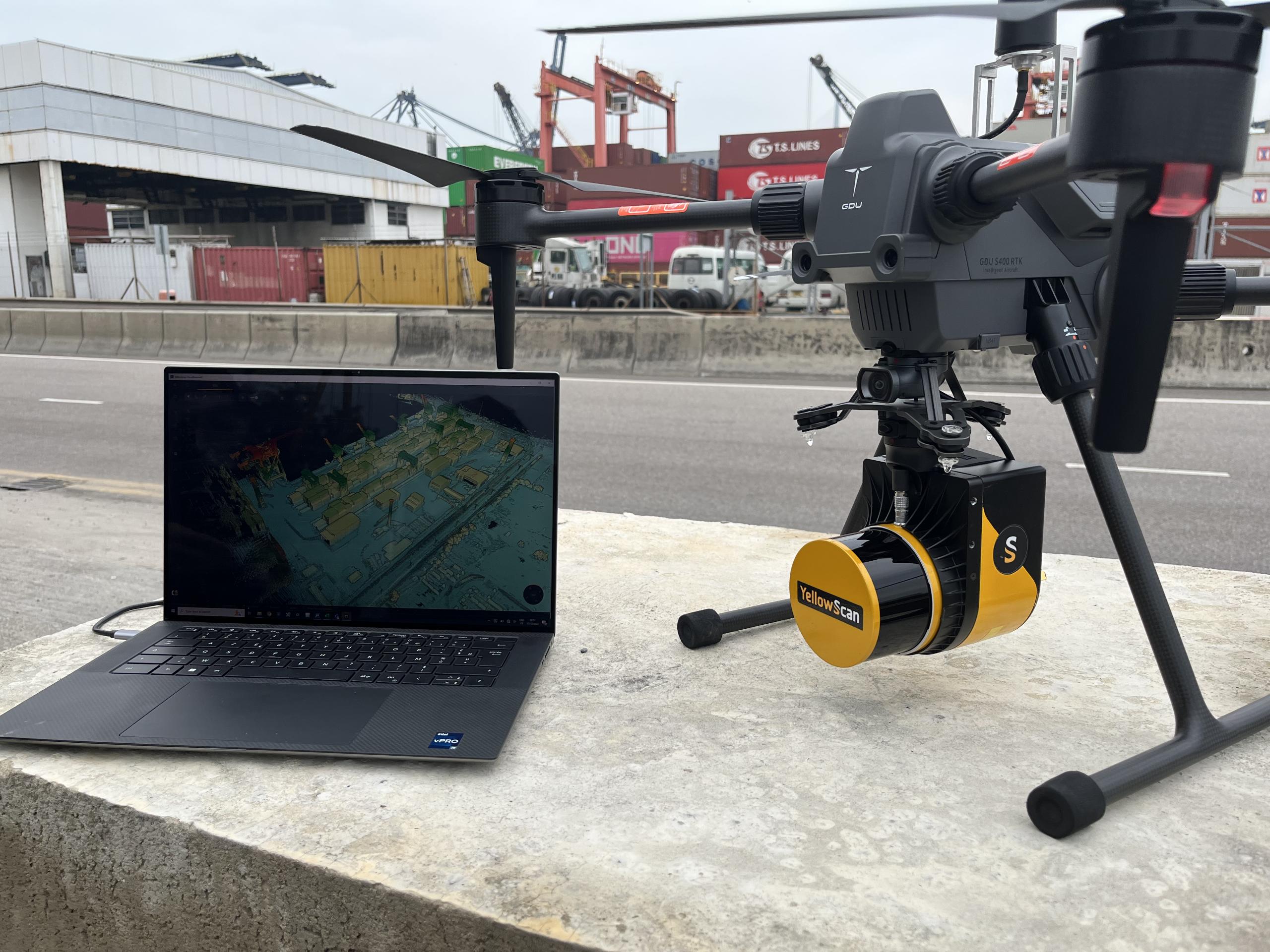
Modular payload systems further enhance the utility of these platforms. Operators can swap between LiDAR, multispectral, and high-zoom optical sensors. This flexibility allows one drone to serve multiple departments within a single organization.
Specialized applications for single-rotor and VTOL systems
Single-rotor drones often resemble small helicopters and offer superior lifting power. They are increasingly used for large-scale agricultural spraying and crop protection. Their stable downward airflow helps chemicals reach the underside of plant leaves.
In remote regions, single-rotor systems excel at high-altitude logistics and supply transport. They can carry heavier batteries or fuel-powered engines for extended missions. This makes them indispensable for mountain rescue and emergency medical deliveries.
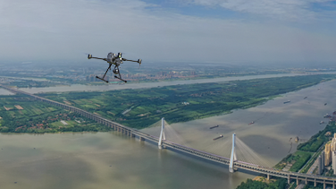
VTOL drones address the key limitation of requiring a landing strip. They can take off from a small clearing in a dense forest or a ship deck. This makes them the ultimate tool for maritime surveillance and long-distance environmental monitoring.
Selecting the right UAV for your professional needs
Choosing the correct platform requires a balance of endurance and portability. You should first evaluate the total area you need to cover in a single flight. If the project exceeds 100 hectares, a VTOL or fixed-wing system is usually necessary.
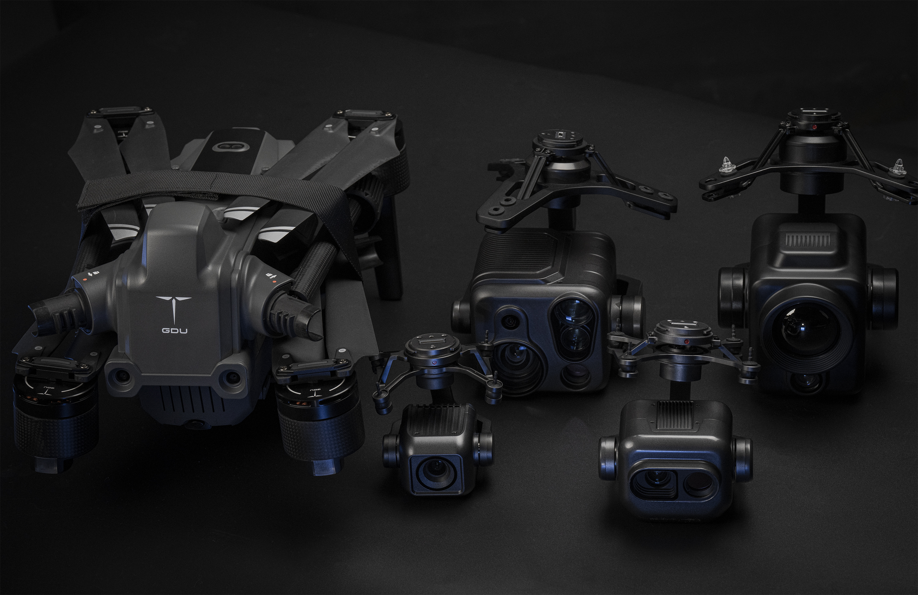
Payload compatibility is another vital factor in the decision process. Ensure the drone can carry specialized sensors like the modular payloads for GDU S400E. Lightweight sensors extend flight time, while heavier LiDAR units require robust propulsion.
Finally, consider the local regulatory environment before deploying any types of UAV. Regulations from authorities like the CAAC or EASA change frequently. It is highly recommended to consult the latest local civil aviation laws for compliance. High-performance models, like those found on the GDU Tech product page, provide the reliability needed for these professional standards.
Summary
Industrial success depends on selecting the appropriate types of UAV for specific operational environments. Multi-rotors are ideal for precision, while VTOL and fixed-wing models dominate long-range data collection. By integrating RTK drone for mapping technology, businesses can achieve unprecedented accuracy and safety in their daily operations.
FAQ
Q:What is the flight time for a modern multi-rotor drone?
In the 2026 market, industrial multi-rotors typically offer 30 to 55 minutes of flight time. This endurance allows for comprehensive inspections of large structures on a single battery.
Q:How does an RTK drone for mapping improve accuracy?
RTK drones provide centimeter-level positioning by correcting satellite data in real-time. This is essential for high-accuracy surveying, 3D modeling, and autonomous navigation.
Q:Why are VTOL drones becoming popular in the industry?
VTOL drones are popular because they do not require runways or catapults for launch. They combine the ease of a multi-rotor with the high-speed endurance of a fixed-wing.
Q:Which type of UAV is best for agricultural spraying?
Single-rotor or heavy-lift multi-rotor drones are best for agriculture. They provide the necessary payload capacity for liquid tanks and create effective air turbulence for spray coverage.
Q:What should I check regarding drone regulations?
You must check local aviation authority rules regarding pilot certification and flight permits. Regulations may vary based on the drone's weight and the intended flight altitude.
Reference Sources
Civil Aviation Administration of China (CAAC) - UAS Regulations
https://www.caac.gov.cn/
European Union Aviation Safety Agency (EASA) - Civil Drones
https://www.easa.europa.eu/en/domains/civil-drones
International Organization for Standardization (ISO) - Unmanned Aircraft Systems
https://www.iso.org/committee/5336224.html
IEEE Xplore - Advances in RTK and UAV Navigation
https://ieeexplore.ieee.org/


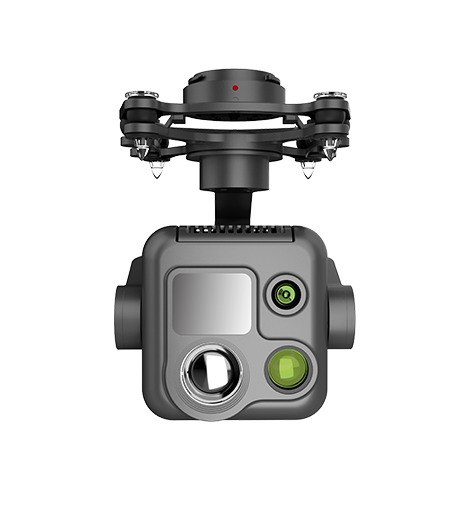 PQL02 Compact Quad-sensor Camera
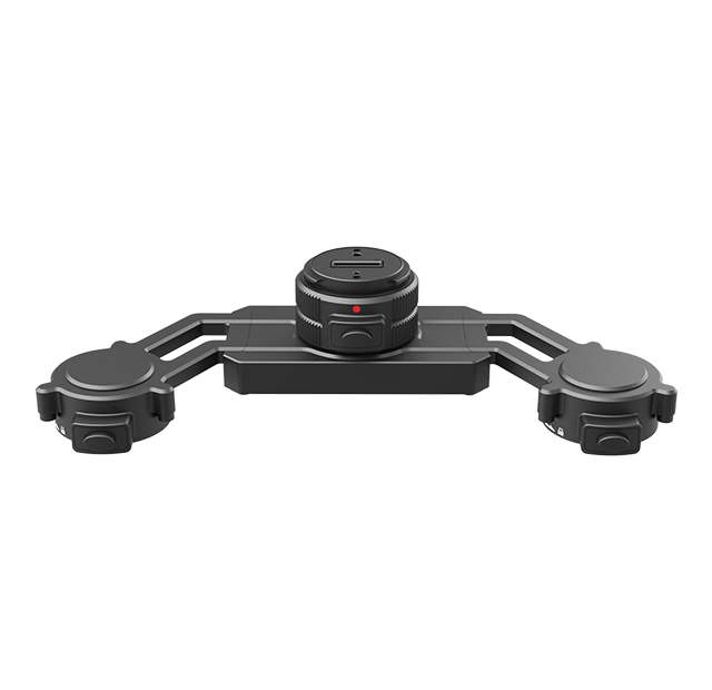
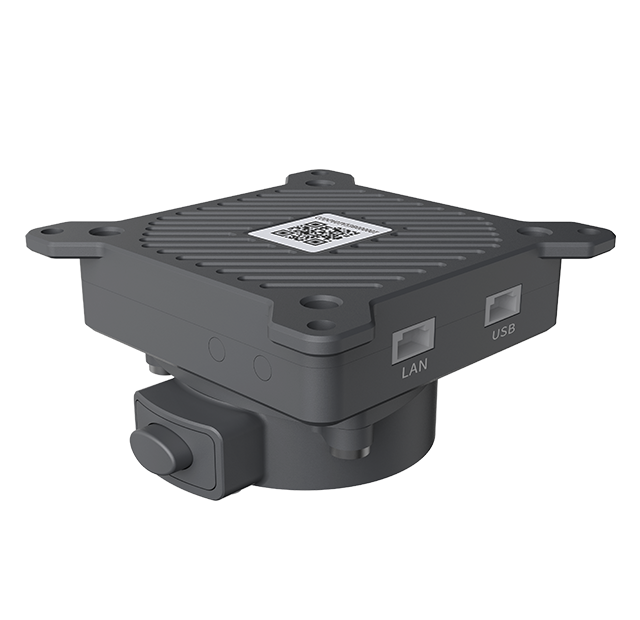 AGA01 Payload Adapter
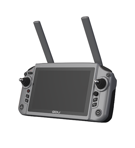 GDU RC SEE Smart Remote Controller